
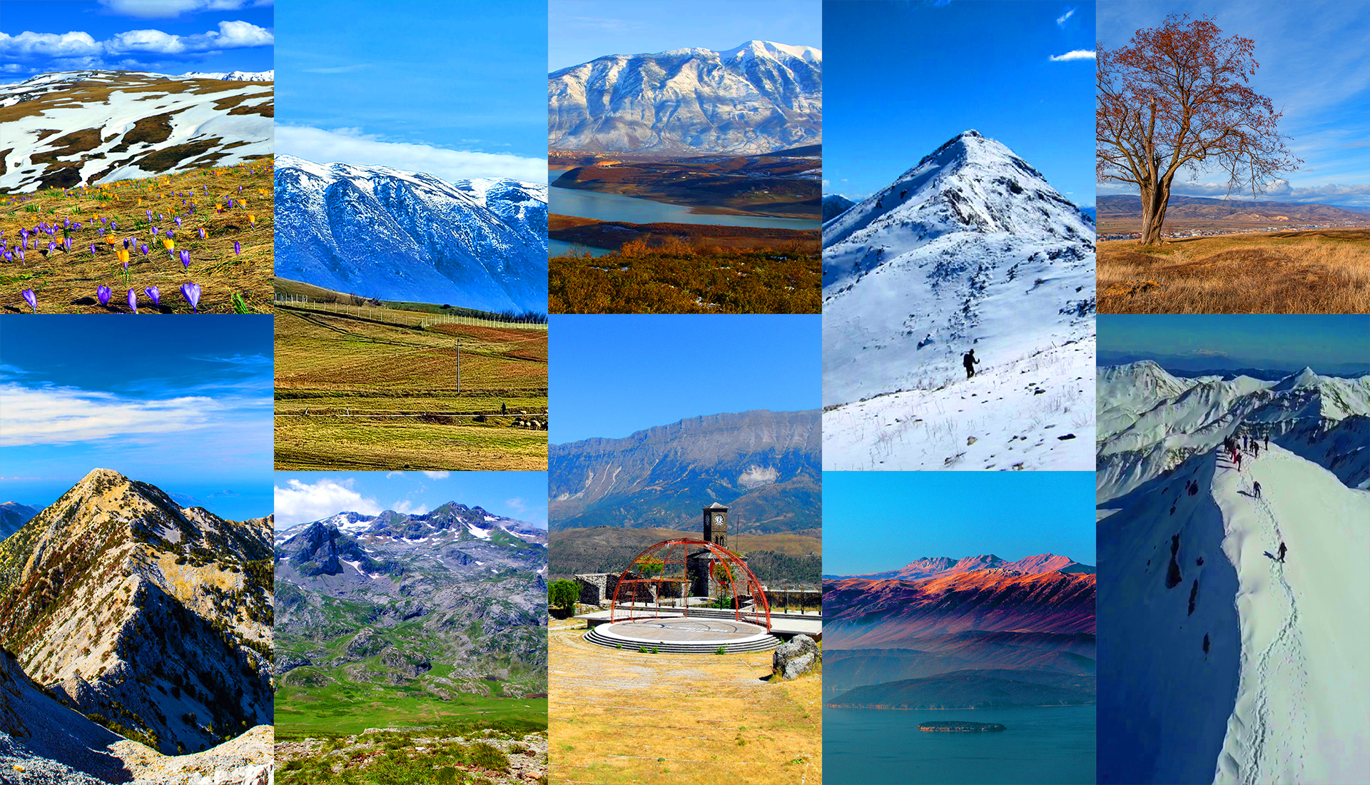
Glacial lakes and high ridges of the south-east
Last updated: November 2026
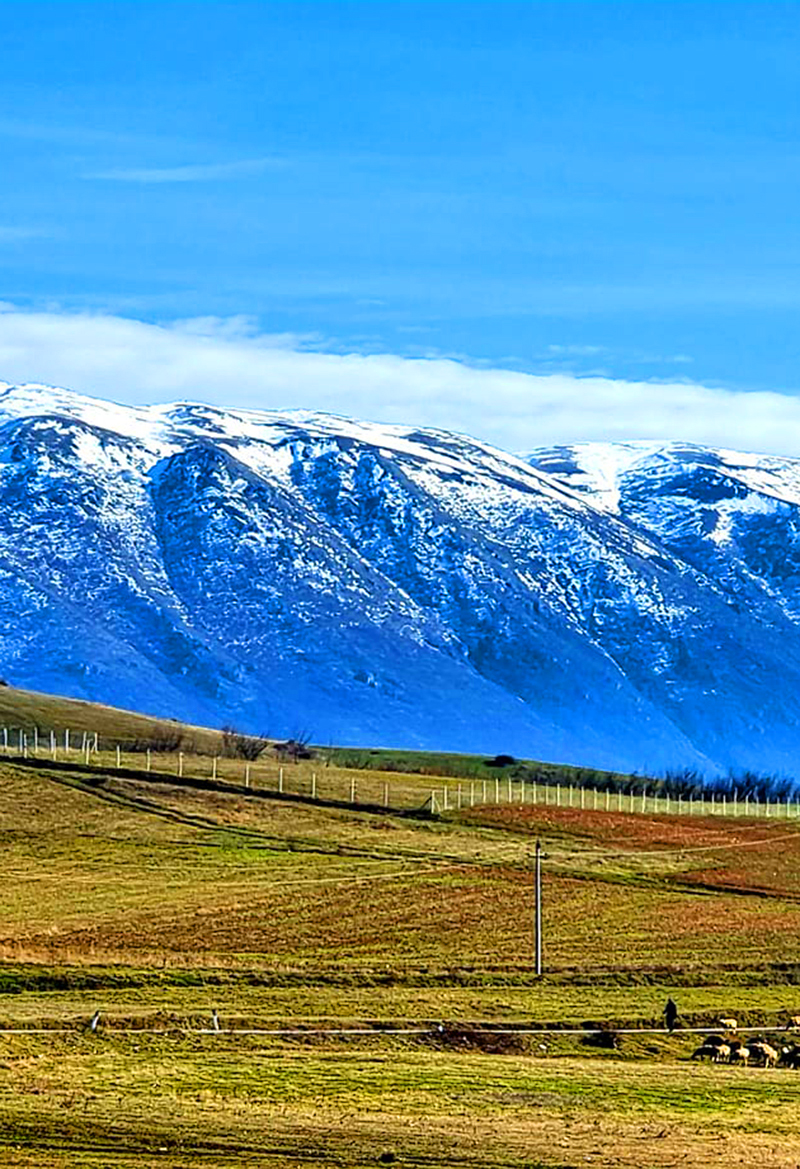
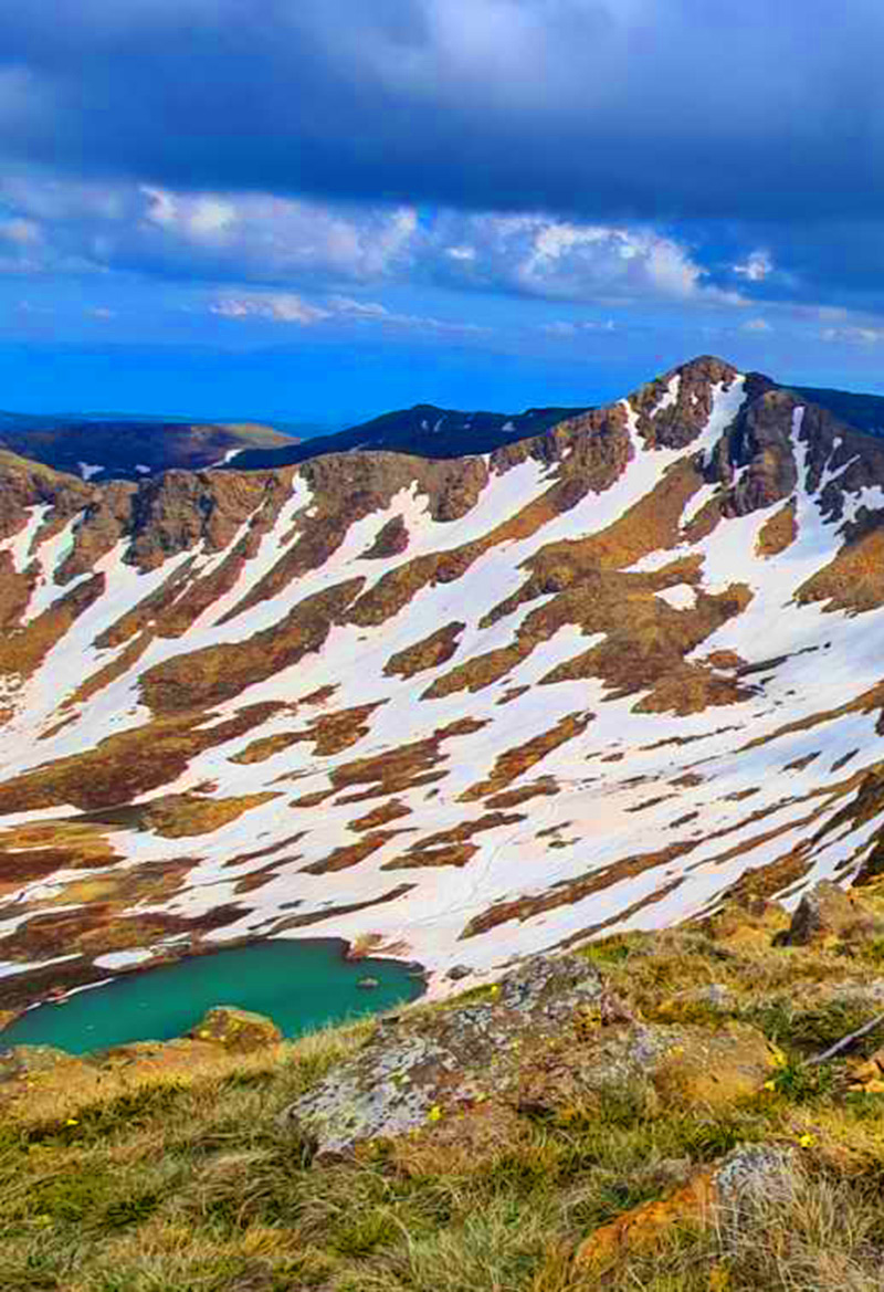
The mountains of south-eastern Albania stretch from Librazhd to the Greek border around Korçë. Gramos, on the border with Greece, is the highest mountain in southern Albania at 2,523 m. Valamara and Shebenik–Jabllanicë hold dozens of glacial lakes, Mali i Thatë rises between Lake Ohrid and Lake Prespa, Ostrovicë forms a long rocky ridge between Korçë and Skrapar, and Morava shelters the fir forests above Korçë. Shebenik, Prespa and the Fir of Drenovë are protected areas.
Which mountain is right for you?
Pick by what you want to do
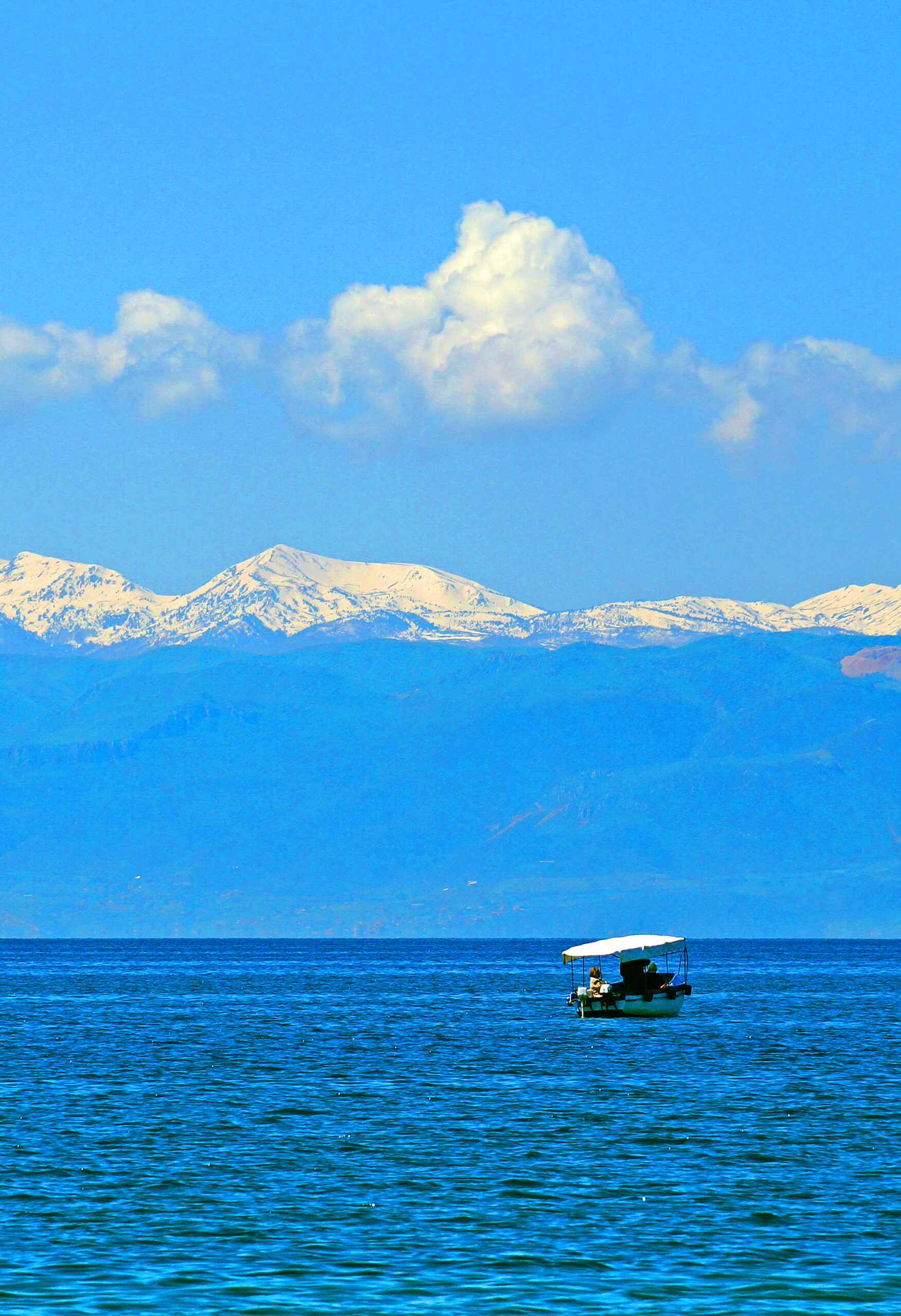
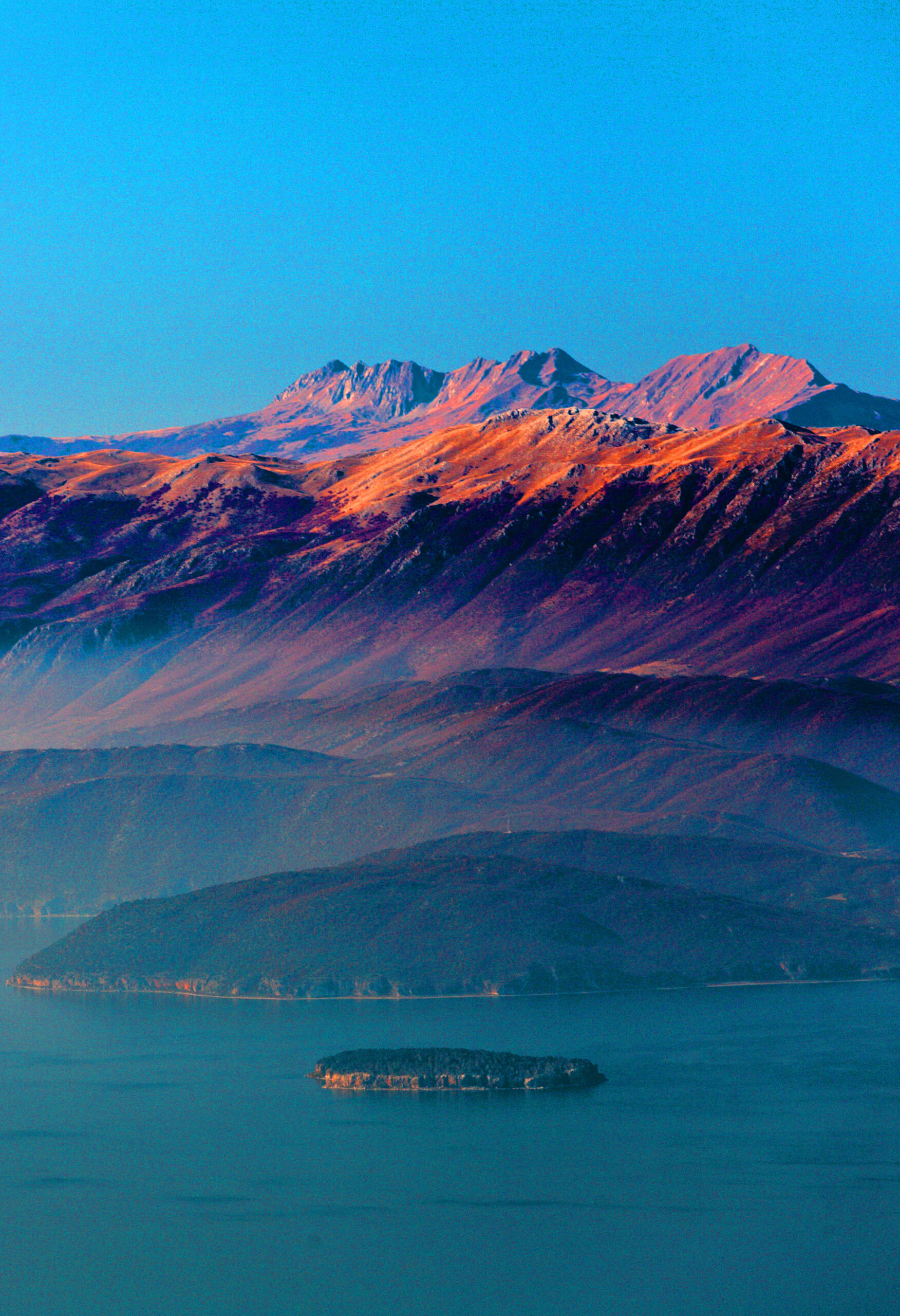
Lake views
Look down on Ohrid and Prespa.
Mali i Thatë (Dry Mount)
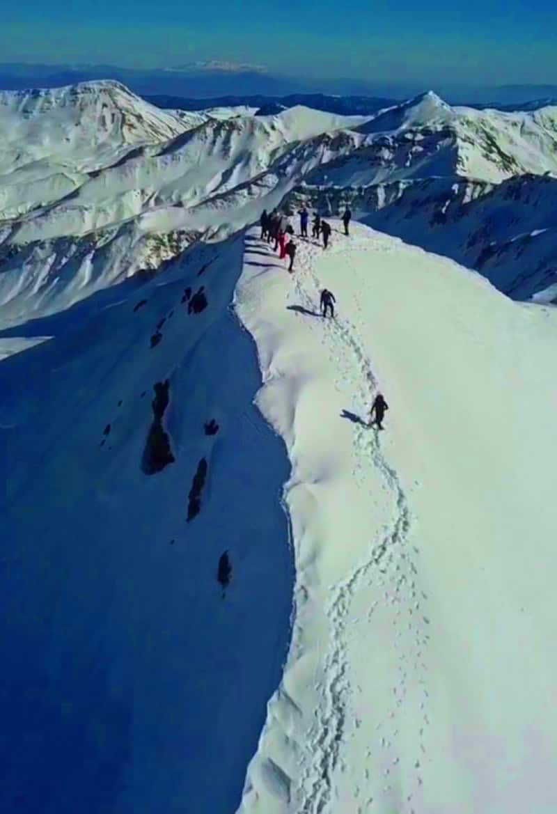
Glacial lakes & forests
A national park on the border.
Shebenik – Jabllanicë Mountains
Big summits
High peaks above Korçë and Ersekë.
Mount Gramos · Mount Valamara · Mount Ostrovicë
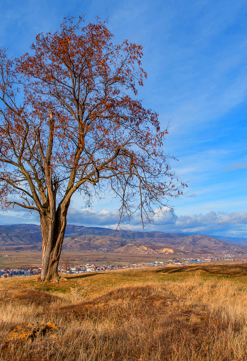
Near Korçë
Short trips from the city.
Mount Morava
South-East mountains at a glance
Height, starting point and the best season
Swipe to see more| Mountain | Elevation | Starting point | Highlights | Season |
|---|---|---|---|---|
| Mount Gramos | 2,523 m at Maja e Çukapeçit | Starjë village, near Ersekë | The border summit and the high pastures | June – October |
| Mount Valamara | 2,373 m | Grabovë e Sipërme | Glacial lakes and the summit views | June – October |
| Mount Ostrovicë | 2,383 m at Çuka e Faqekuqit | Vithkuq; trailheads at Marjan and Potom | The summit ridge and the views over southern Albania | June – October |
| Mali i Thatë (Dry Mount) | 2,287 m at Pllaja e Pusit | Alarup village | The view over both lakes from the summit | June – October |
| Shebenik – Jabllanicë Mountains | 2,265 m at Maja e Shebenikut | Librazhd and the villages of the park | 14 glacial lakes and Maja e Shebenikut | June – October |
| Mount Morava | 2,042 m at Maja e Badaroshës | Korçë and the villages of Drenovë and Boboshticë | The cross above Korçë and the fir forests | May – October |
Map of the south-east mountains
Tap a place to see it, then open its guide
Practical Information
Getting around
- Korçë: About 3 hours from Tirana; base for Morava, Ostrovicë and Gramos.
- Pogradec: About 3 hours from Tirana; base for Mali i Thatë.
- Librazhd and Gramsh: Bases for Shebenik–Jabllanicë and Valamara.
- By car: Trailheads at Grabovë, Marjan and in Shebenik need a 4×4.
When to go & Tips
- Season: Snow covers the high ridges from December to May.
- Water: Mali i Thatë has no springs on the upper slopes – carry water.
- Wildlife: Bears and wolves live in Shebenik – keep food stored.
- Border: Gramos and Mali i Thatë run along the borders – carry your passport.
Safety in the mountains
- Guides: For high summits and remote routes, hire a local guide – trails are often unmarked.
- Weather: Start early; afternoon storms are common in summer. Carry a jacket even in July.
- Water: Springs are not always reliable – carry at least 2 litres.
- Signal: Mobile coverage is weak or missing on most high routes; tell someone your plan.
Frequently asked questions
When is the best time to hike in Albania’s mountains?
June to October for the high peaks; July to September for the highest summits, when snow has melted. Lower mountains near Tirana and Berat are good from spring to autumn.
Do I need a guide?
For Korab, Jezerca and other high or remote summits, yes – a local guide is strongly recommended. Popular trails like Theth–Valbonë are easier to follow.
Which is the highest mountain in southern Albania?
Mount Gramos, 2,523 m, on the border with Greece.
WHAT TO EXPECT?
ABOUT ALBANIA
Villages
Rivers
Coastline
Mountains
UNESCO Sites
National Parks






Your Albania trip, arranged by locals
Share your plans with us and we'll help you organise everything for a smoother, more relaxed holiday.