
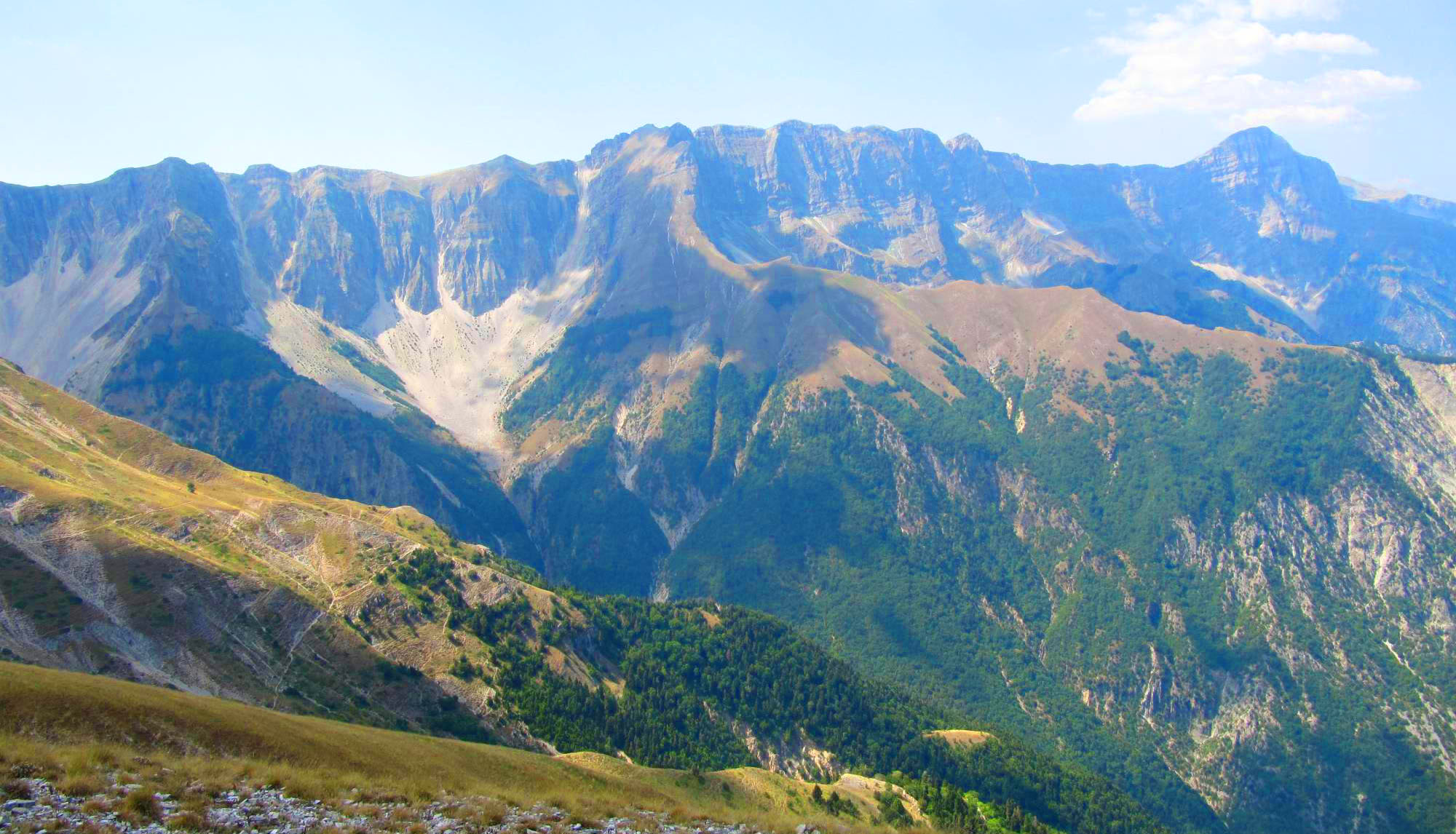
The highest summit of Nemërçka
Last updated: November 2026
Maja e Papingut, also known as Maja e Dritës, is the highest peak of the Nemërçka range, rising to 2,482 m between Përmet and Gjirokastër. It is the highest peak lying entirely within southern Albania, and with a prominence of almost 1,800 m it is one of the most prominent summits in the country. Its pyramid-shaped top stands above the long limestone ridge. On the eastern side, cliffs drop around 2,000 m to the Vjosa valley. The easiest approach is from the Gjirokastër side, near the village of Skore, while the climb from the Vjosa valley is long and very steep. From the summit the view reaches Tomorr, Gramos and the mountains of Greece.
Quick Facts
2,482 m
Nemërçka range, between Përmet and Gjirokastër
Skore (Gjirokastër side) or Përmet
Not part of a protected area
The summit pyramid and the views over southern Albania
June – October
Things to do on Maja e Papingut
Location
Gallery
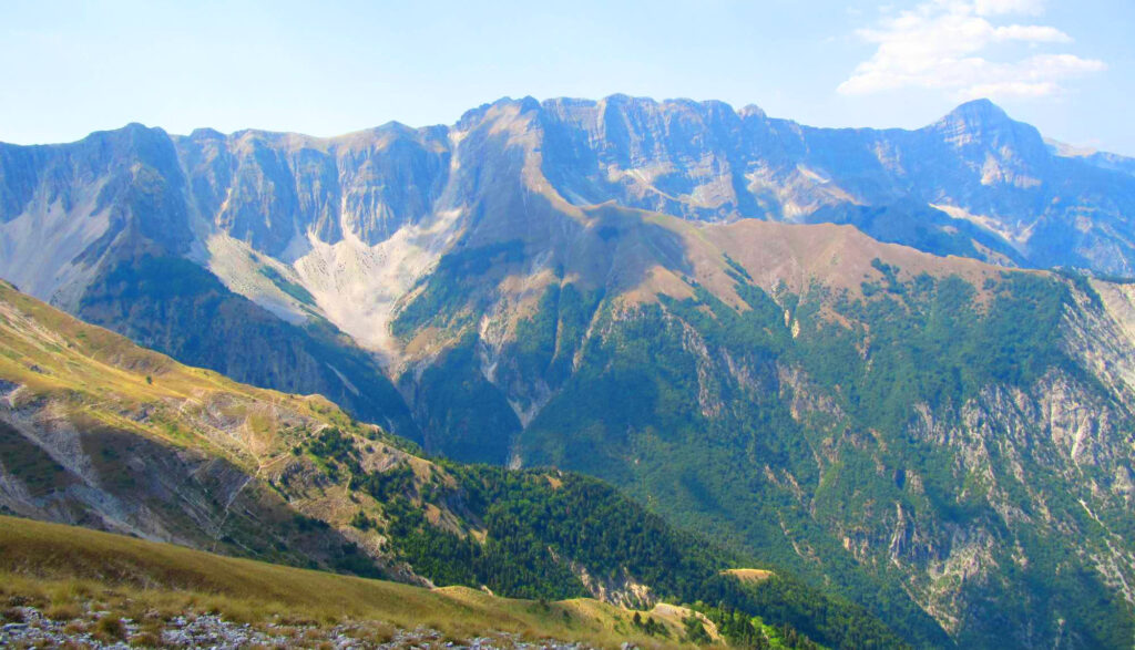
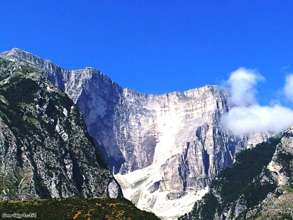
Photos: Thanas Todhe (CC BY 3.0) – via Wikimedia Commons
Nearby Places


Practical Information
How to get there
- From Gjirokastër: About 1 hour by car to Skore and on to the trailhead about 4 km further.
- From Përmet: The trails from the Vjosa valley start near the villages south of Përmet.
- Trail: From the Vjosa side the ascent is over 2,000 m and hard to do in one day.
Where to stay & eat
Përmet and Gjirokastër have hotels, guesthouses and restaurants.
Tips
- Snow: Snow can stay on the summit for much of the year – ice axe and crampons may be needed.
- Wind: Strong winds are common on the ridge.
- Dogs: Shepherd dogs guard the flocks on the high pastures in summer.
Frequently Asked Questions
What else can I visit near Mount Papingut?
Nearby places on Albania Tourism: Sopoti Waterfall (about 2 km), Selcka Waterfall (about 12 km), Zagori (about 12 km), Leusa (about 12 km). Distances are in a straight line.
Do I need a guide for Mount Papingut?
Not on marked trails in good summer weather if you are an experienced hiker. For unmarked routes, snow, poor visibility or your first time in the area, hire a local guide.
Is there mobile signal and water on Mount Papingut?
The signal is often weak or missing on higher ground, so download offline maps and tell someone your route. Springs are not reliable in late summer – carry enough water.
Your Albania trip, arranged by locals
Share your plans with us and we'll help you organise everything for a smoother, more relaxed holiday.