
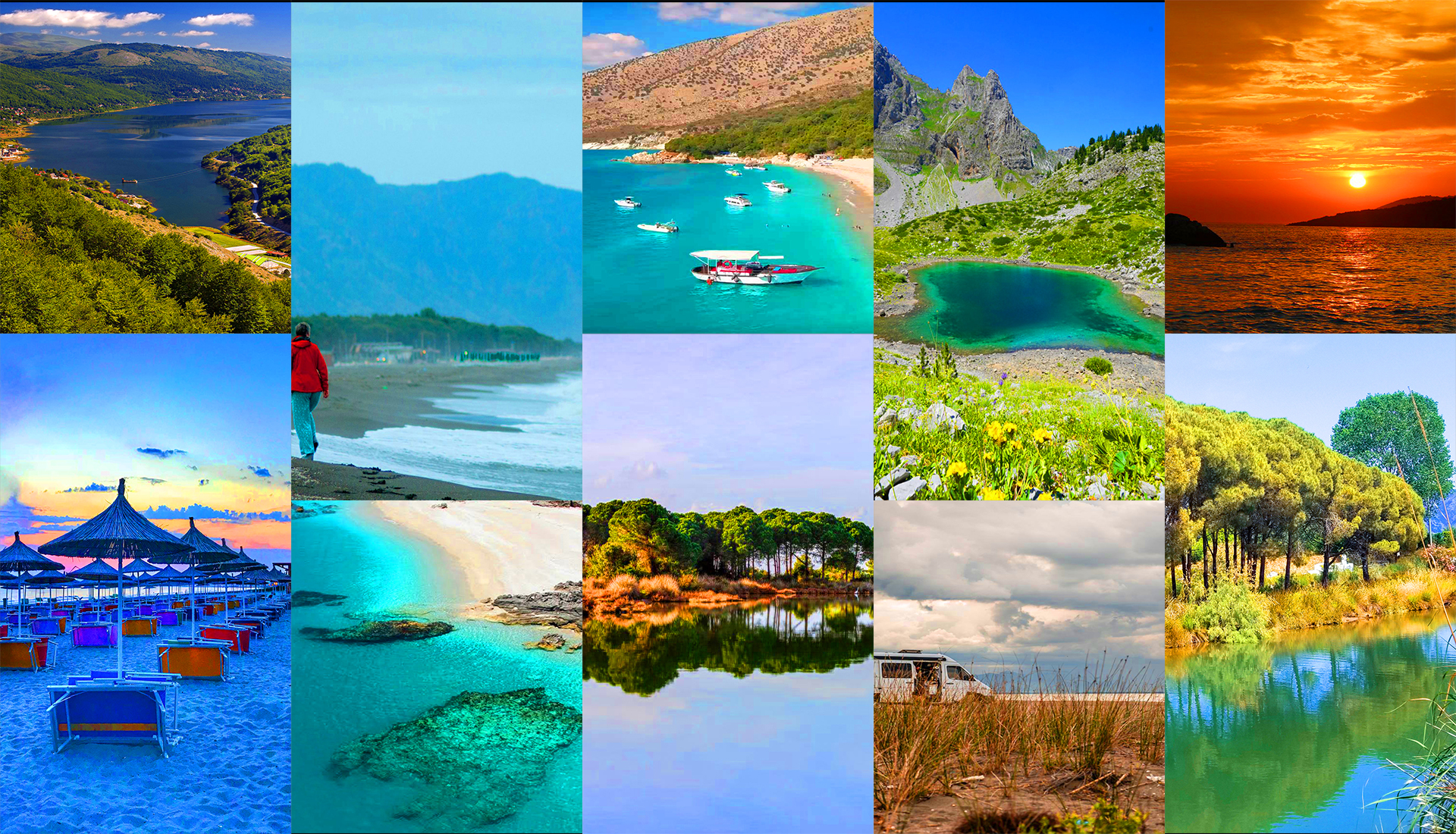
Glacial lakes high in the mountains
Last updated: November 2026
Hidden among Albania's high mountains, small glacial lakes sparkle in alpine meadows, pine forests and rocky cirques. Hike to the lakes of the Albanian Alps near the Kosovo border, wander between the Lura lakes, or climb to Gistova on the roof of Gramoz – wild places where the reward is silence, clear water and wide views.
The Albanian Alps
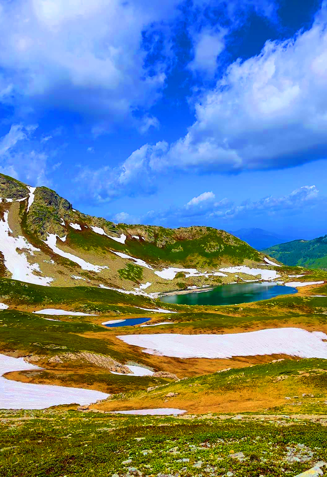
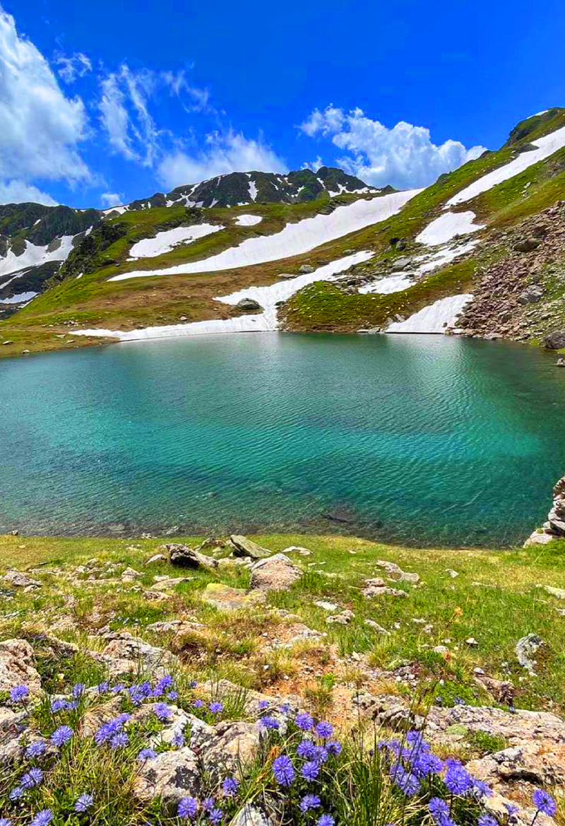
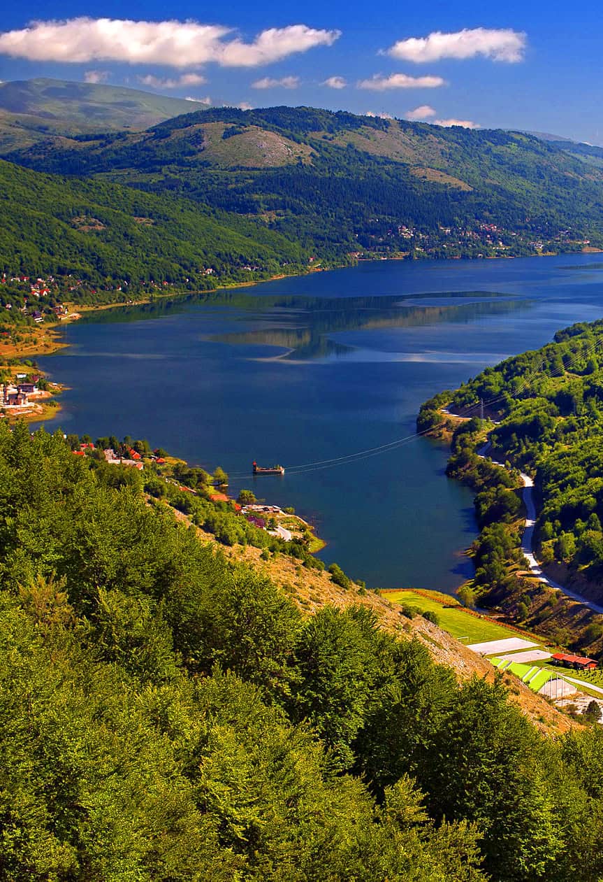
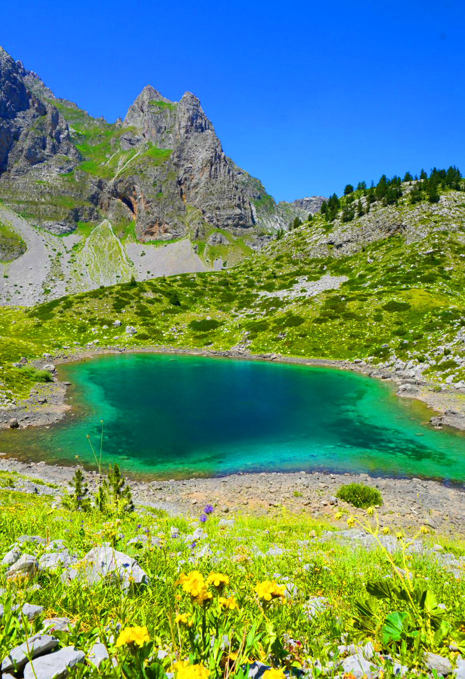
The Mountains of Dibër
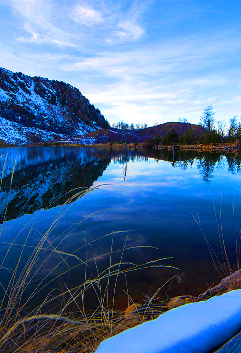
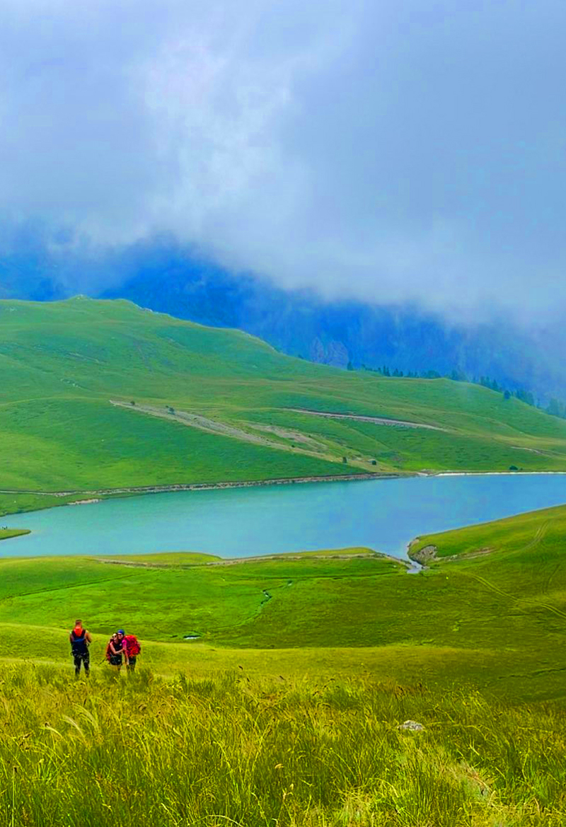
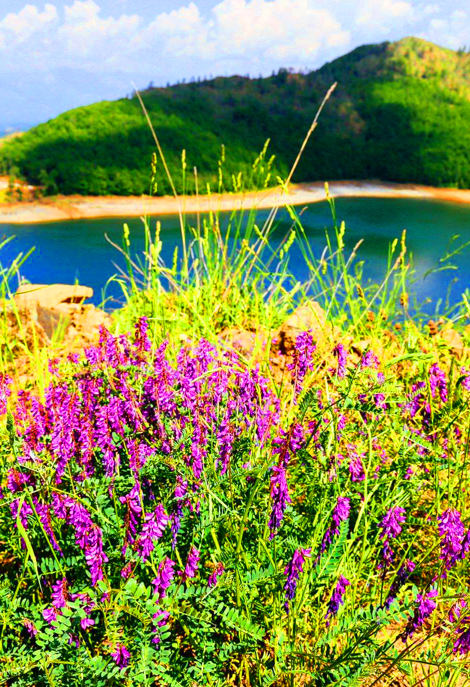
The Gramoz Mountains

Which mountain lake is right for you?
Pick by what you want to do
Reachable by road
Drive close, then a short walk.
Lura Lakes
Day hikes
Lakes for a long day in the mountains.
Lake Gramë · Lake Sope
Remote alpine lakes
Multi-day trips for experienced hikers.
Buni i Jezercës Lakes · Lake Dash · Lake Gistova
Mountain lakes at a glance
Altitude, access and the best season
Swipe to see more| Lake | Type | Altitude | Access | Season |
|---|---|---|---|---|
| Lake Dash | Glacial mountain lake | About 2,180 m above sea level | On foot only – remote mountain hikes | July – September |
| Lake Sylbicë | Glacial mountain lake | About 2,090 m above sea level | On foot only – remote mountain hikes | July – September |
| Lake Dhenve | Small round glacial lake | About 2,050 m above sea level | On foot only – remote mountain hikes | July – September |
| Buni i Jezercës Lakes | A group of glacial lakes in the Buni i Jezercës valley | The Big Lake lies at about 1,790 m | On foot only – a long, demanding mountain hike | July – September |
| Lura Lakes | A group of glacial lakes on the slopes of Kunora e Lurës | Between about 1,350 and 1,720 m | Rough mountain roads – a 4x4 is recommended | June – September; the lakes freeze in winter |
| Lake Gramë | Glacial lake fed by rain and melting snow | About 1,750 m above sea level | On foot only – hikes from Radomirë or the villages above Peshkopi | June – September; fullest in late spring after the snowmelt |
| Lake Sope | Glacial mountain lake | About 1,730 m above sea level | Rough mountain roads, then a hike on foot | June – September |
| Lake Gistova | Glacial alpine lake on the Albania – Greece border | About 2,350 m above sea level | On foot only – a long, demanding mountain hike | July – September, when the snow has melted |
Map of Albania’s mountain lakes
Tap a place to see it, then open its guide
Practical Information
Getting around
- Albanian Alps: Reach Valbonë or Tropojë by road or via the Lake Koman ferry, then hike.
- Dibër mountains: Peshkopi and Bulqizë are the bases for Lura, Gramë and Sope; mountain roads are rough in places.
- Gramoz: Drive to Ersekë and Starjë, then hike up to Gistova.
- 4×4: A higher vehicle helps on many mountain tracks.
When to go & Tips
- Timing: July to September is the safest time; snow can stay late into spring.
- Guide: Many paths are poorly marked – hire a local guide or use a GPS track.
- Border areas: Several lakes lie near the state border – carry your ID and the right permits.
- Supplies: Bring water, food and warm clothes; there are no services at the lakes.
Frequently asked questions
Which mountain lake is easiest to reach?
The Lura Lakes – mountain roads lead close to them, though a 4x4 is recommended.
When can I visit the alpine lakes?
Mostly from June or July to September, when the snow has melted.
Do I need a guide?
For remote lakes like Buni i Jezercës, Lake Dash or Lake Gistova, a local guide is strongly recommended.
Can I swim in the mountain lakes?
The water is very cold even in summer; a quick dip is possible, but always respect local rules in protected areas.
WHAT TO EXPECT?
ABOUT ALBANIA
Villages
Rivers
Coastline
Mountains
UNESCO Sites
National Parks






Your Albania trip, arranged by locals
Share your plans with us and we'll help you organise everything for a smoother, more relaxed holiday.