
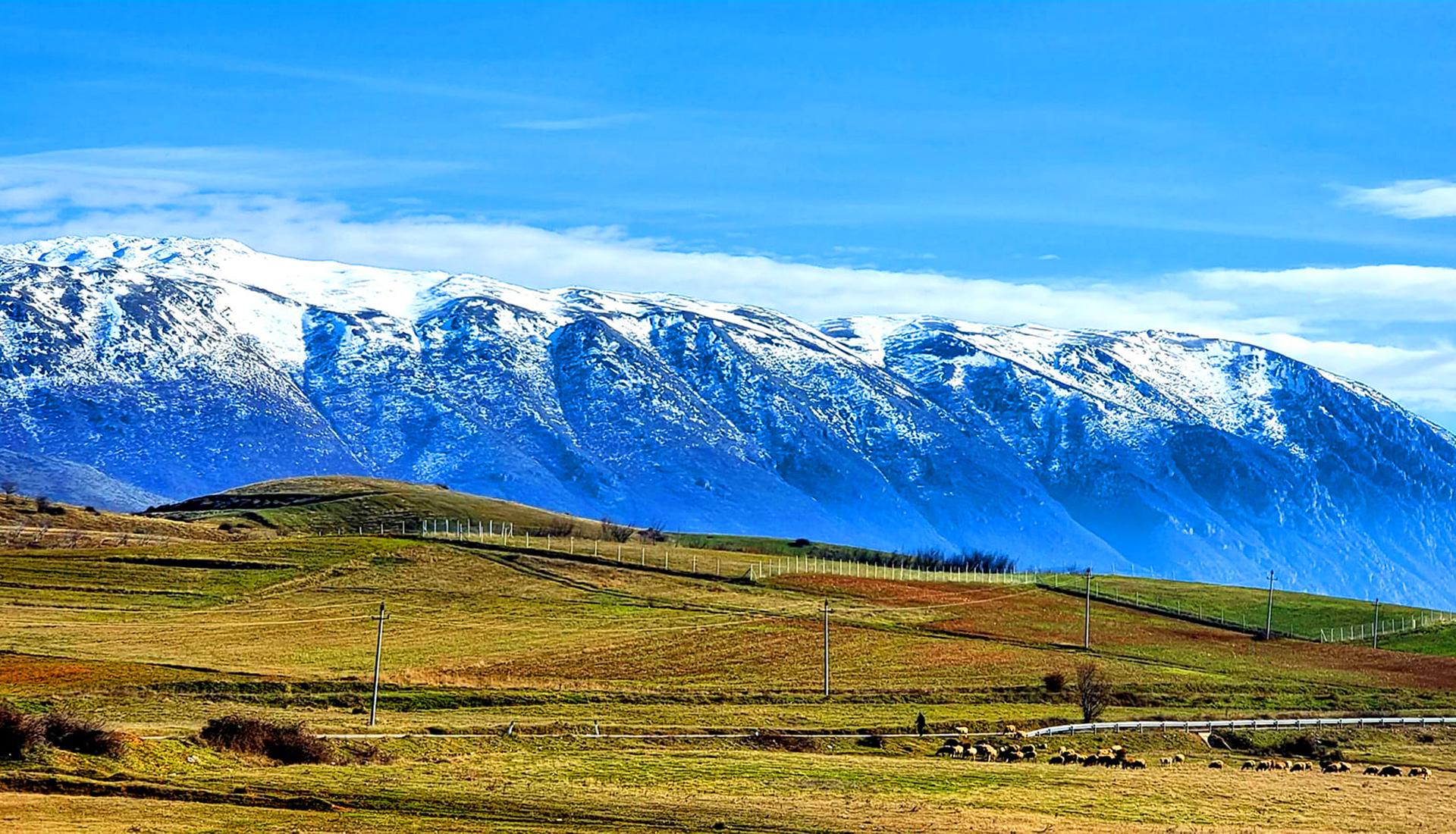
Between Lake Ohrid and Lake Prespa
Last updated: November 2026
Mali i Thatë is a limestone massif about 25 km long that separates Lake Ohrid from Lake Prespa, east of Pogradec. Its highest point, Pllaja e Pusit, reaches 2,287 m on the Albanian side, close to the border with North Macedonia, where the range continues as Galičica. Water sinks quickly into the limestone and there are no permanent streams on its slopes. From the summit both lakes can be seen at once, along with Pelister in North Macedonia and Gramos far to the south. The eastern side lies within Prespa National Park.
Quick Facts
2,287 m at Pllaja e Pusit
Between Lake Ohrid and Lake Prespa, east of Pogradec
Alarup village
Prespa National Park (eastern side)
The view over both lakes from the summit
June – October
Things to do on Mali i Thatë
Location
Gallery
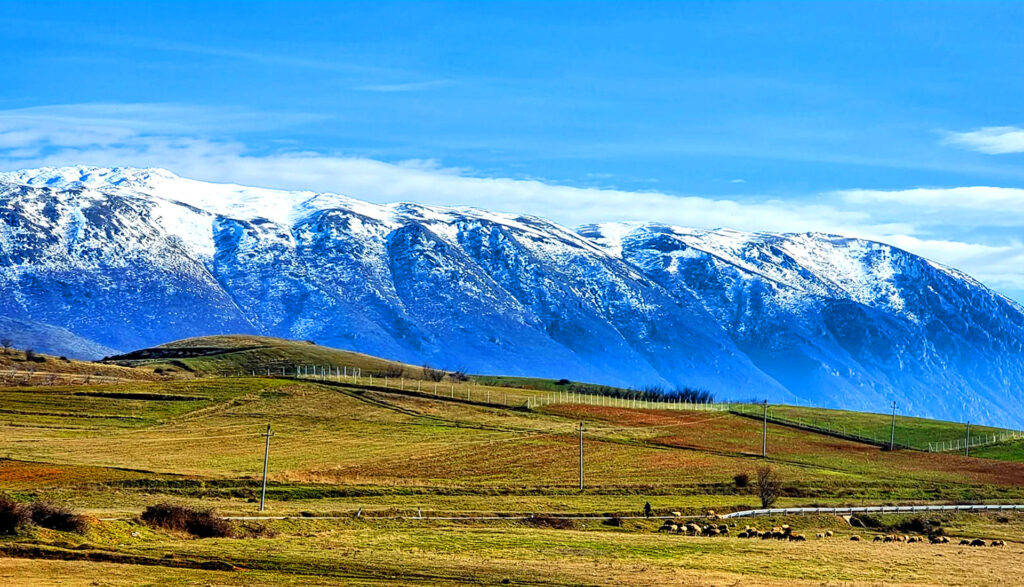
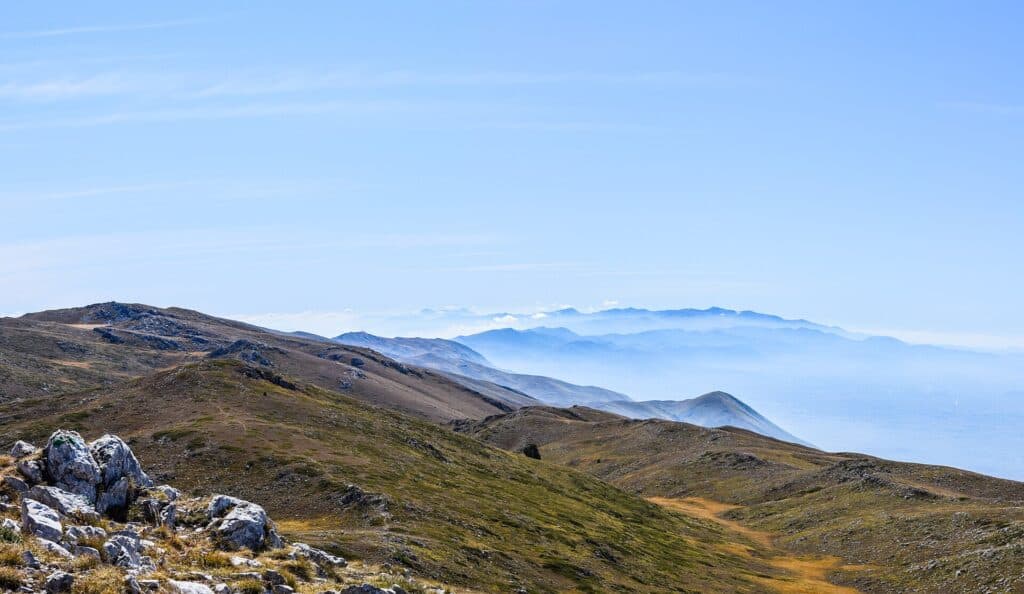
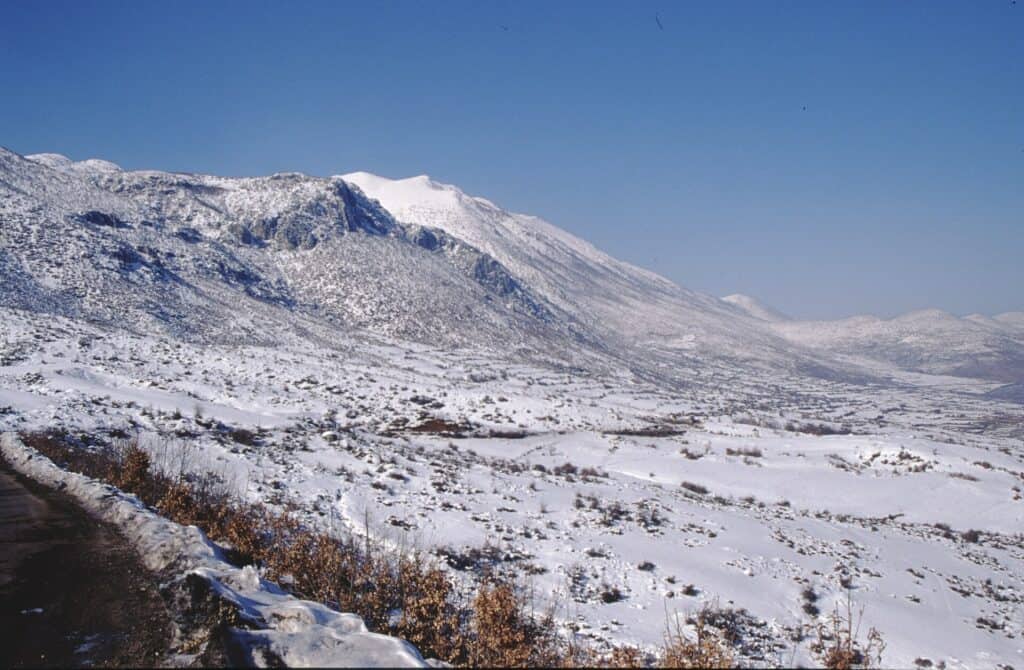
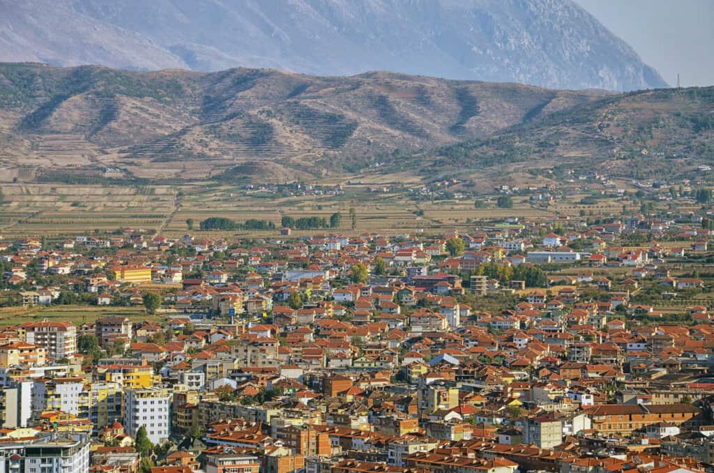
Photos: Pasztilla aka Attila Terbócs (CC BY-SA 4.0); Helmut Kienzle (CC BY 4.0); Liridon (CC BY-SA 4.0) – via Wikimedia Commons
Nearby Places


Practical Information
How to get there
- From Pogradec: About 30 minutes by car on an asphalt road to Alarup.
- From Tirana: About 3 hours by car to Pogradec.
- Trail: From Alarup it is about 6.5 km and roughly 1,200 m of ascent to the summit; allow 8–9 hours for the round trip.
Where to stay & eat
Pogradec has many hotels and lakeside restaurants.
Tips
- Water: There are no springs on the upper mountain – carry all the water you need.
- Start: Start early to finish the long hike in daylight.
- Shade: The ridge is open with no shade – bring sun protection.
Frequently Asked Questions
What else can I visit near Mali i Thatë (Dry Mount)?
Nearby places on Albania Tourism: Tushemisht (about 10 km), Drilon Springs (about 11 km), Lake Prespa (about 12 km), Maligrad Island (about 13 km). Distances are in a straight line.
Do I need a guide for Mali i Thatë (Dry Mount)?
Not on marked trails in good summer weather if you are an experienced hiker. For unmarked routes, snow, poor visibility or your first time in the area, hire a local guide.
Is there mobile signal and water on Mali i Thatë (Dry Mount)?
The signal is often weak or missing on higher ground, so download offline maps and tell someone your route. Springs are not reliable in late summer – carry enough water.
Your Albania trip, arranged by locals
Share your plans with us and we'll help you organise everything for a smoother, more relaxed holiday.