
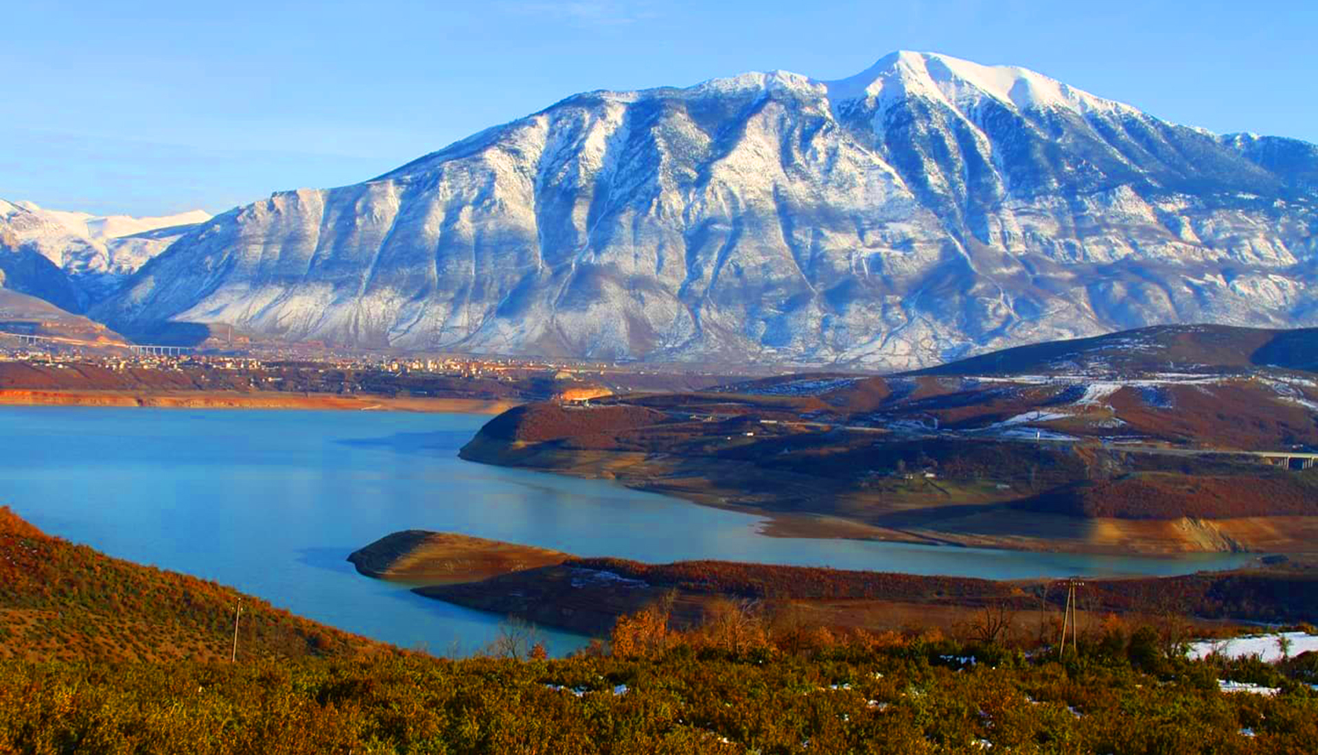
The balcony of northern Albania above Kukës
Last updated: November 2026
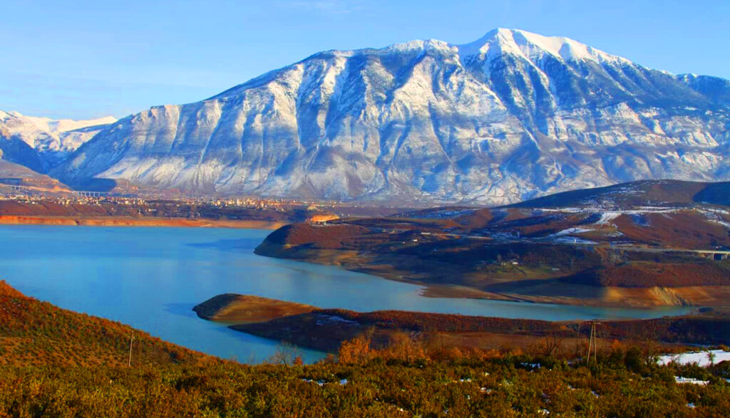
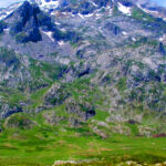
Gjallica, also known as Gjallica e Lumës, is the highest mountain in Kukës County, rising to about 2,489 m south-east of the city, above the plateau of Lumë. Its limestone summit has a sharp, pyramid-like shape, and because the Black Drin valley to its west lies only about 250 m above sea level, the mountain looks especially tall from the city. Known locally as the balcony of northern Albania, it looks over Kukës, Lake Fierza, Mount Korab and the Albanian Alps, and keeps snow on its slopes until late spring.
Quick Facts
About 2,489 m
South-east of Kukës, above the plateau of Lumë
Brekije, or Kukës
Korab-Koritnik Nature Park
Views over Kukës, Lake Fierza and the Albanian Alps
June – October
Things to do on Gjallica
Location
Gallery
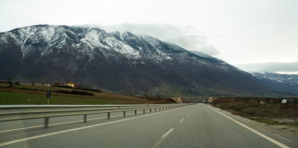
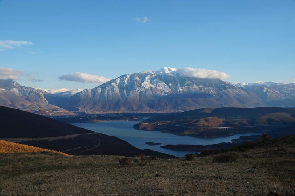
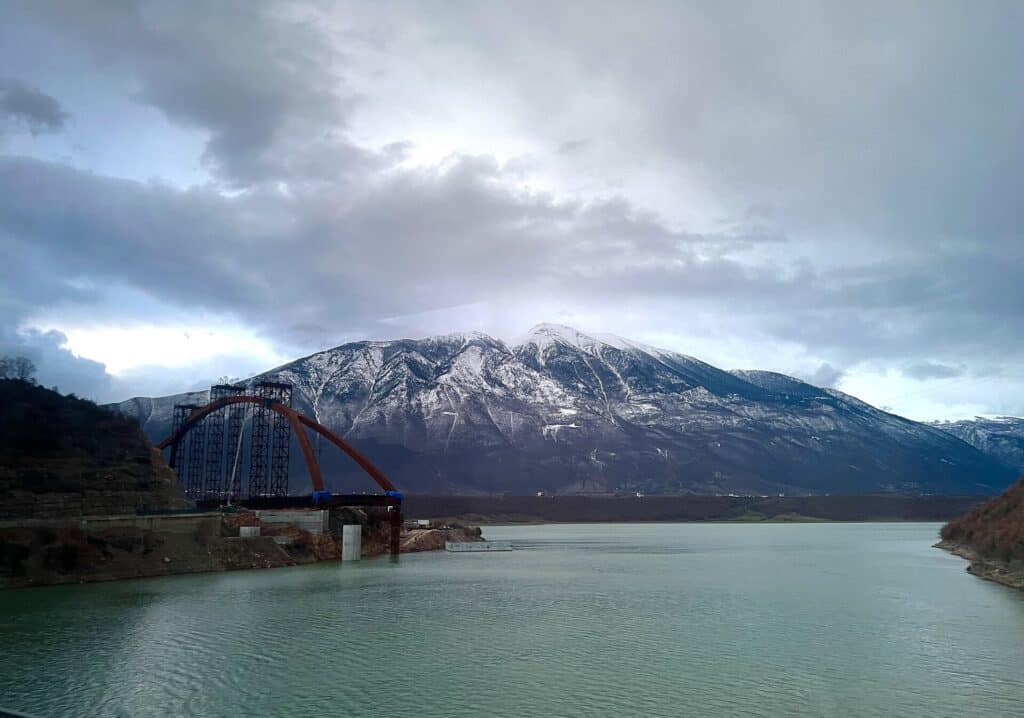
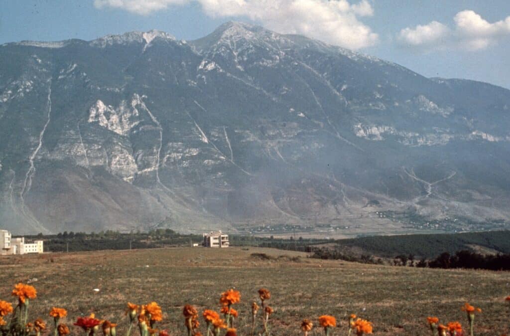
Photos: Heinz Bothien (CC BY-SA 4.0); Sharon Hahn Darlin (CC BY 2.0); Albinfo (CC BY 4.0) – via Wikimedia Commons
Nearby Places

Practical Information
How to get there
- From Tirana: About 2 hours on the motorway to Kukës.
- To the trailhead: The road from Kukës towards Shishtavec is paved; the last 3.5 km to Brekije are unpaved.
- From Kukës: A full-day hike leads straight up from the city for strong walkers.
Where to stay & eat
Kukës has hotels and restaurants; there are a few village guesthouses on the roads towards Shishtavec.
Tips
- Snow: Snow can cover the upper slopes until June.
- Waymarks: Parts of the route are not well marked – carry a map or GPS.
- Water: Carry enough water; springs are few on the upper mountain.
Frequently Asked Questions
What else can I visit near Mount Gjallica?
Nearby places on Albania Tourism: Topojan (about 6 km), Kolesjan (about 7 km), Kukës (about 8 km), Peca Castle (about 10 km). Distances are in a straight line.
Do I need a guide for Mount Gjallica?
Not on marked trails in good summer weather if you are an experienced hiker. For unmarked routes, snow, poor visibility or your first time in the area, hire a local guide.
Is there mobile signal and water on Mount Gjallica?
The signal is often weak or missing on higher ground, so download offline maps and tell someone your route. Springs are not reliable in late summer – carry enough water.
Your Albania trip, arranged by locals
Share your plans with us and we'll help you organise everything for a smoother, more relaxed holiday.