
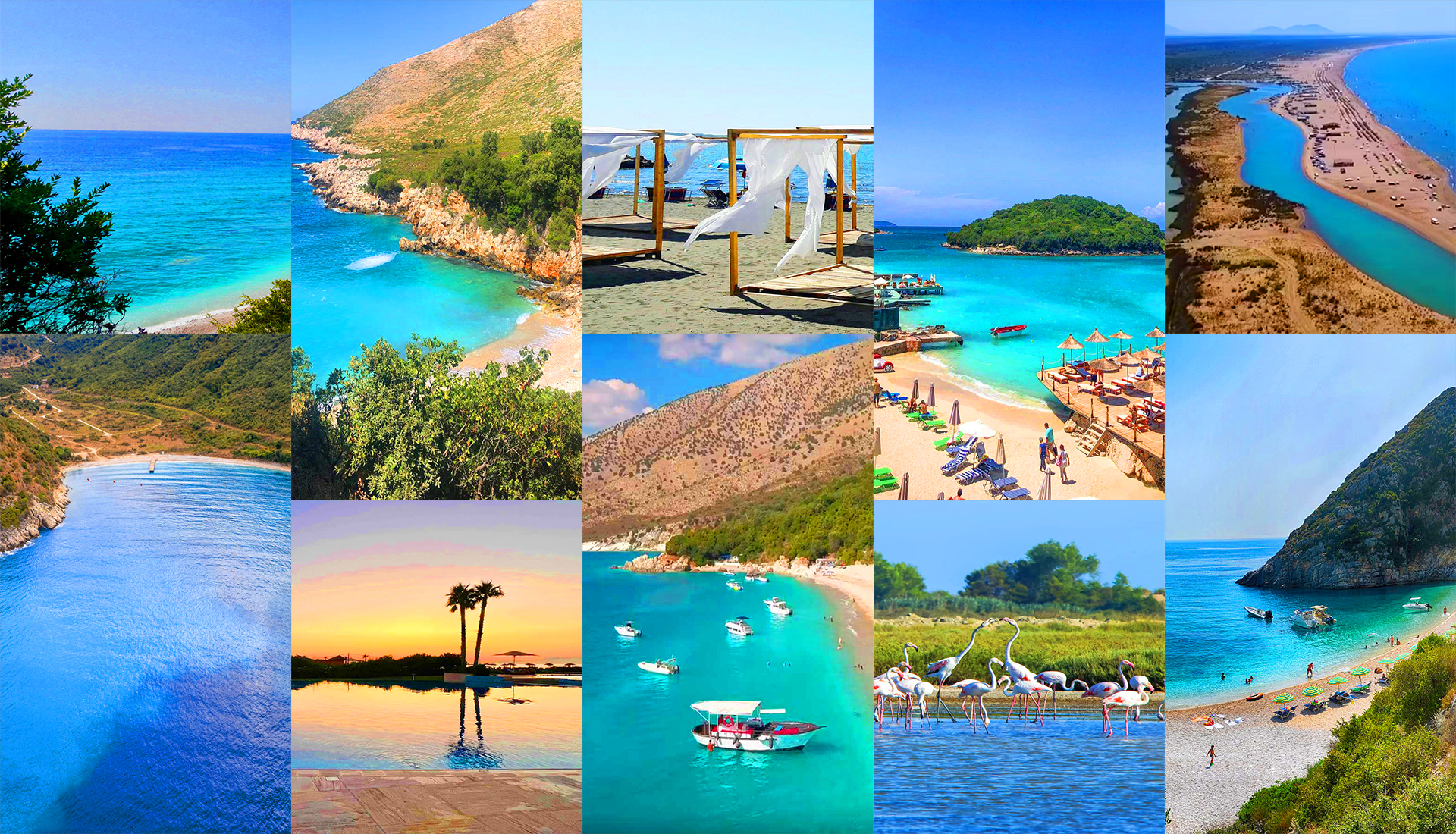
Mountain streams, spring-fed rivers and river mouths
Last updated: November 2026
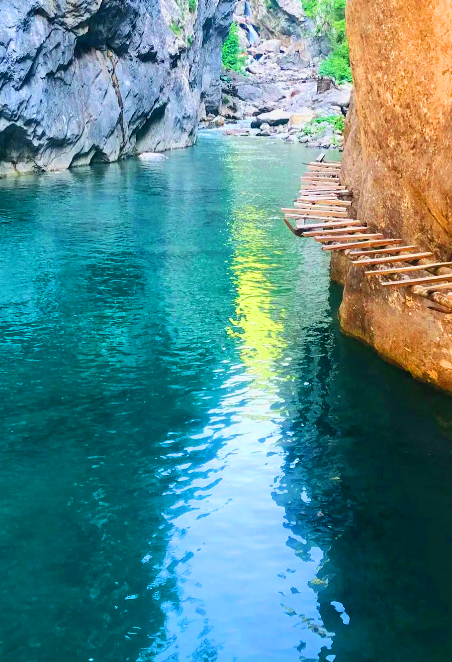
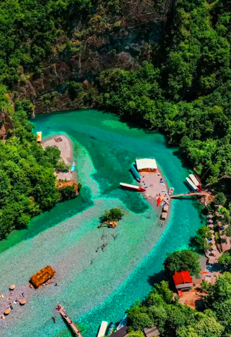
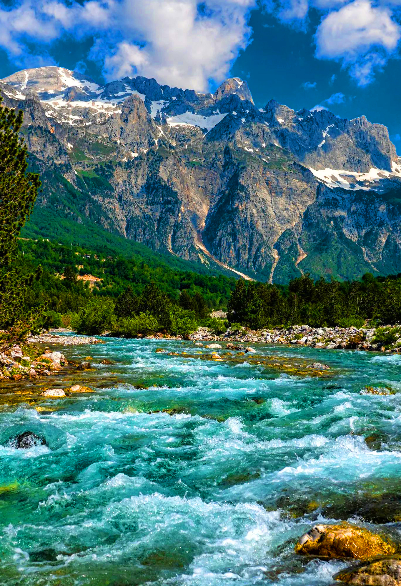
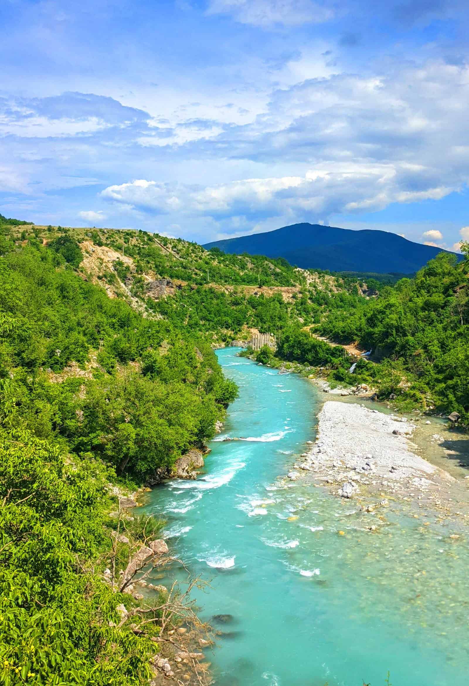
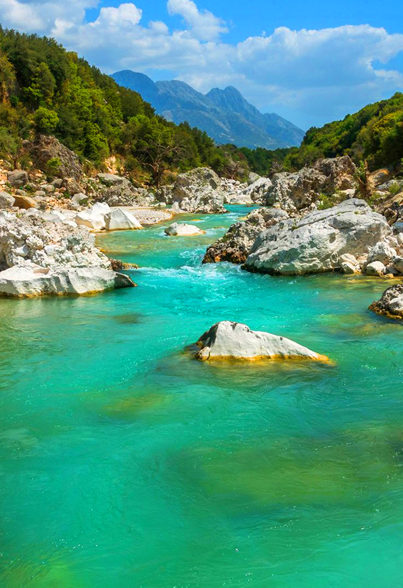
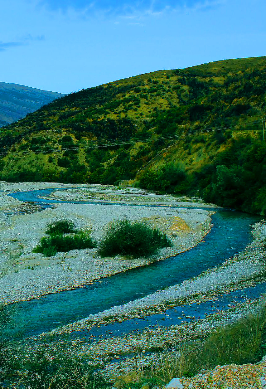
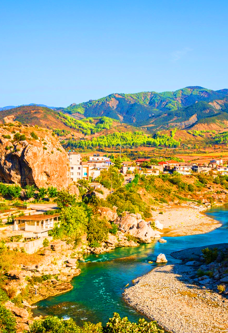
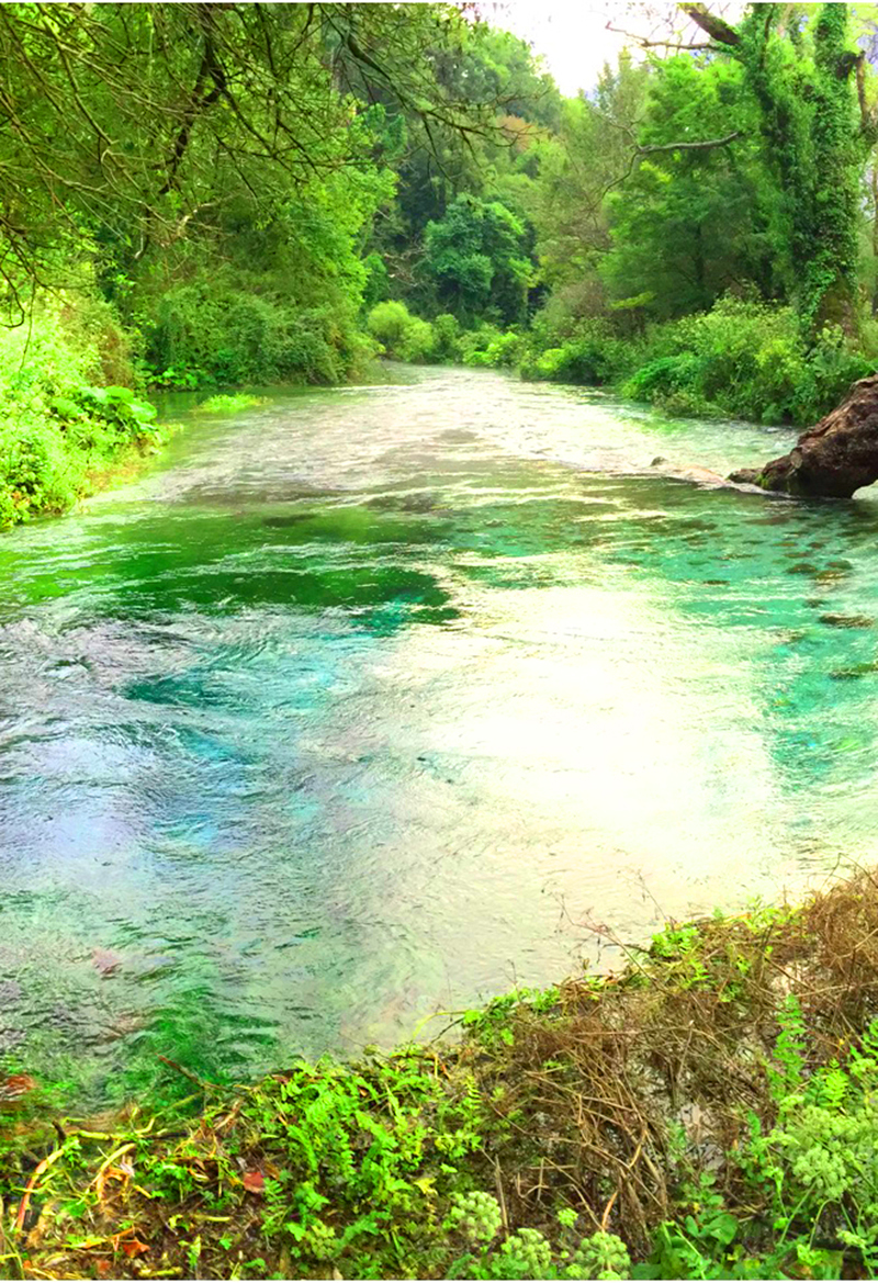
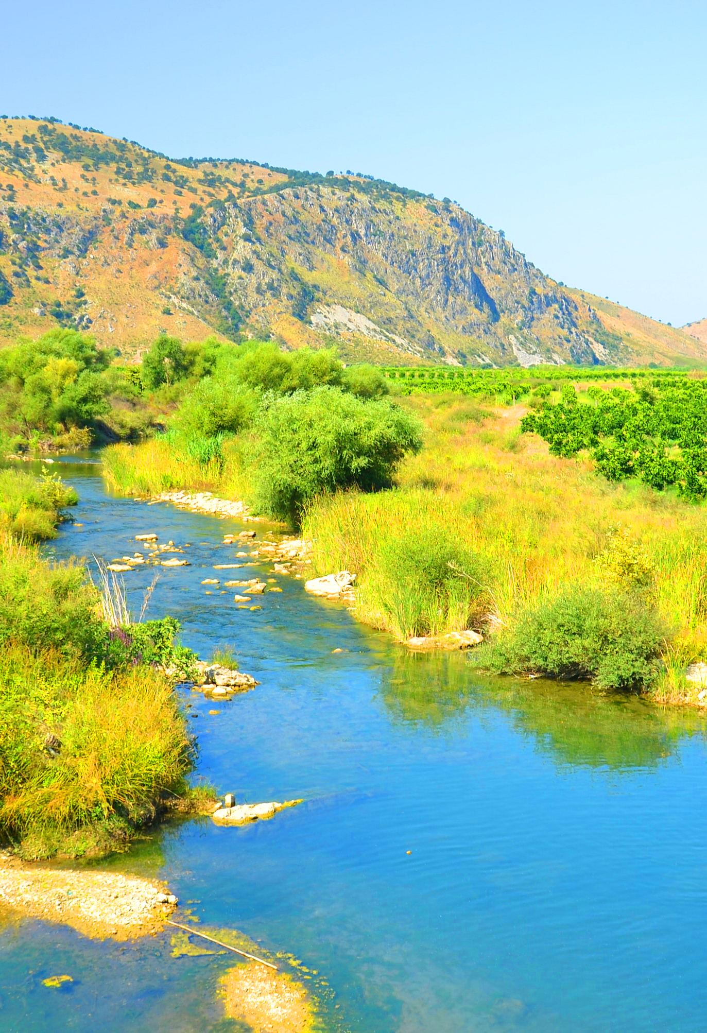
Albania's smaller rivers include clear mountain rivers in the Albanian Alps, such as the Cem, Valbona and Shala, and short rivers in the south fed by karst springs, such as the Bistrica from the Blue Eye. Many are easy to visit from a nearby town: the Kir from Shkodër, the Lana in Tirana, the Shushica from Vlorë and the Lengarica from Përmet, where thermal pools rise along the river.
North Albania
Central Albania

South Albania
Which river is right for you?
Pick by what you want to do
Alpine rivers
Clear water below the peaks.
Valbonë River · Shala River · Cem River
Deltas & birds
Where rivers meet the sea.
Buna River
Spring-fed rivers
Cold, clear water from springs.
Bistrica River · Bënça River
Canyons & rafting
Gorges, pools and adventure.
Lengaricë River · Bënça River
Other rivers at a glance
Length, source and what to see
Swipe to see more| River | Length | Source | Flows through | Highlights |
|---|---|---|---|---|
| Cem River | About 65 km, nearly half of it in Albania | The Vukël and Selcë branches, in the mountains of Kelmend | Selcë, Tamarë and Grabom, then into Montenegro | The stone bridge of Tamarë and the Gerrla Canyon at Selcë |
| Shala River | About 37 km | The Shtraza spring in Okol, at the top of Theth | Theth, Ndërlysaj, Breg-Lumi and the Shosh valley | The turquoise lower river where it meets Lake Koman |
| Valbonë River | About 50 km | Springs in the Albanian Alps, above Rragam | Rragam, Valbonë, Dragobi, Shoshan and Bajram Curri | The wide stone riverbed of Valbonë and the Shoshan gorges |
| Gashi River | About 27 km | Below the Dobërdol pass, near the borders with Kosovo and Montenegro | The Gashi valley in Tropojë | Old beech forests on the UNESCO World Heritage list |
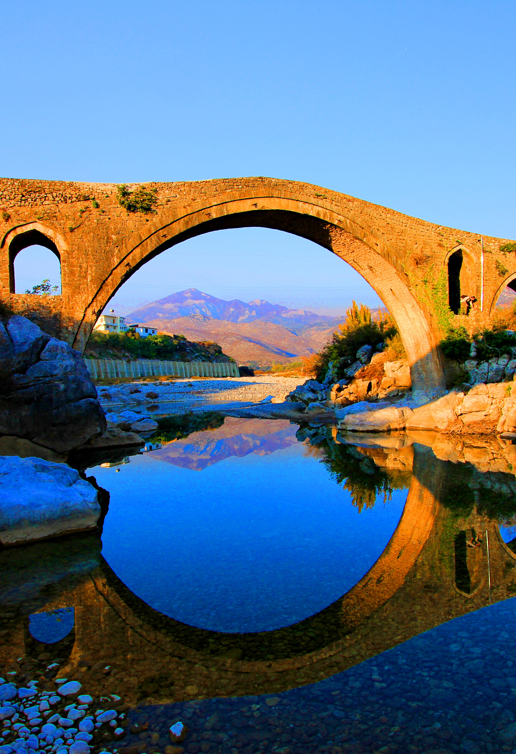
| Kir River | About 52 km | The Albanian Alps, north-east of Shkodër | The Kir canyon, Prekal and Mes, to the edge of Shkodër | The Mesi Bridge, 108 m long with 13 arches |
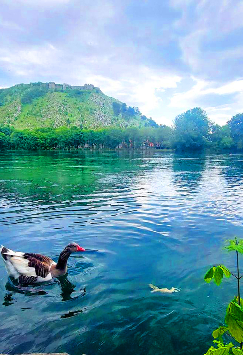
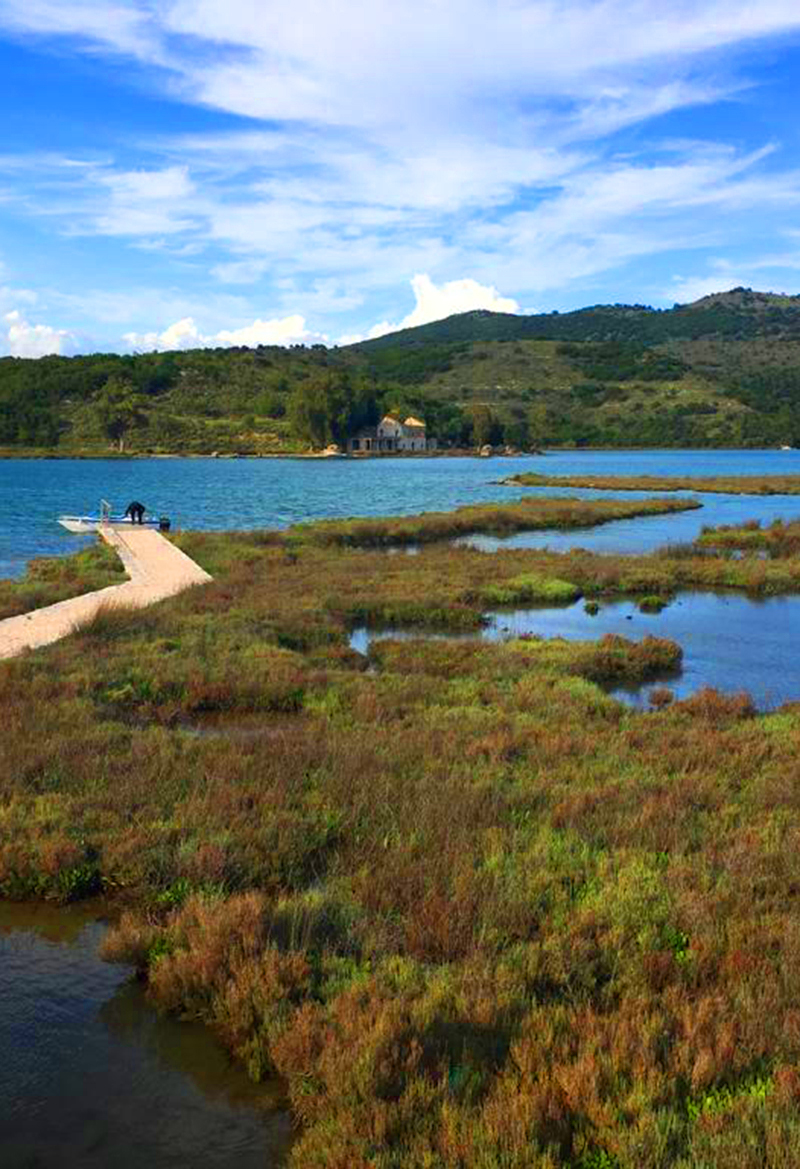
| Buna River | About 41 km | Lake Shkodër, at the city of Shkodër | Shkodër, Zues, Obot, Shirq and Dajç | The Buna delta and its wetlands near Velipojë |
| Ishëm River | About 75–79 km, including the Tirana river | The Tirana, Tërkuza and Zeza rivers, north-east of Tirana | The plain north of Tirana, Fushë-Krujë and the village of Ishëm | The river mouth at Rodon Bay, near the Cape of Rodon |
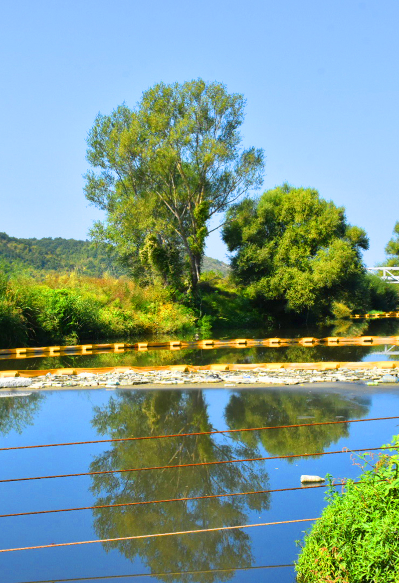
| Lana River | About 25–29 km | The western slopes of Mount Dajt, near Lanabregas | Lanabregas and the centre of Tirana | The tree-lined embankments and the Tanners' Bridge |
| Shushicë River | About 80 km | Near the village of Kuç, in the mountains of Vlorë | Kuç, Brataj, Kotë and Drashovicë | The old stone bridge of Brataj and its emerald pools |
| Bënça River | About 26 km | The karst highlands of Kurvelesh, near Progonat | The Kurvelesh highlands, the Bënça valley and Bënçë | The aqueduct of Ali Pasha above the Bënça gorge |
| Lengaricë River | About 36 km | Mountain streams east of Përmet | The Lengarica Canyon, Bënjë and Petran | The Kadiu Bridge and the thermal pools of Bënjë |
| Kalasa River | About 34 km | The mountains north-west of Delvinë | Kalasë, Tatzat and the Vurgu plain | The 19th-century Jesir Bridge in Kalasë |
| Bistrica River | About 25 km | The Blue Eye spring, near Muzinë | Muzinë, Mesopotam and the Vurgu plain | The Blue Eye spring, more than 50 m deep |
| Pavllë River | About 50 km | The Mourgana mountains, in north-western Greece | Vagalat, Shkallë and the Mursi and Vrina plains | The Vrina wetlands at the river mouth |
Map of Albania’s smaller rivers
Tap a place to see it, then open its guide
Practical Information
Getting around
- North: The Kir, Buna and Cem are reached from Shkodër, the lower Shala by boat across Lake Koman, and the Valbona and Gashi from Bajram Curri.
- Central: The Lana runs through Tirana; the Ishëm crosses the plain to the north of the city.
- South: The Shushica is reached from Vlorë, the Bënça and Lengarica from Tepelenë and Përmet, and the Kalasa, Bistrica and Pavlla from Sarandë.
- By car: A car is the easiest way to reach bridges, springs and river mouths.
When to go & Tips
- Swimming: Mountain rivers stay cold even in summer; the Lana and Ishëm are not suitable for swimming.
- Water levels: Many rivers run low in late summer.
- Boats: Book the Lake Koman boat to the Shala a day ahead in summer.
- Cash: Carry Albanian lek for guesthouses and small cafés.
Frequently asked questions
Which river has the clearest water?
The alpine rivers – Valbonë, Shala and Cem – and spring-fed rivers like the Bistrica near the Blue Eye are famous for their clear water.
Where can I swim in a river?
The Shala River near Lake Koman and the Bënça near Tepelenë are popular in summer; always check currents first.
Which river forms a border?
The Buna marks part of the border with Montenegro before it reaches the Adriatic.
Is the Lana River worth a visit?
It flows through Tirana; its riverside paths are a pleasant city walk rather than a nature destination.
WHAT TO EXPECT?
ABOUT ALBANIA
Villages
Rivers
Coastline
Mountains
UNESCO Sites
National Parks
















Your Albania trip, arranged by locals
Share your plans with us and we'll help you organise everything for a smoother, more relaxed holiday.