
Korab, Gjallica and the border ranges of the north-east
Last updated: November 2026
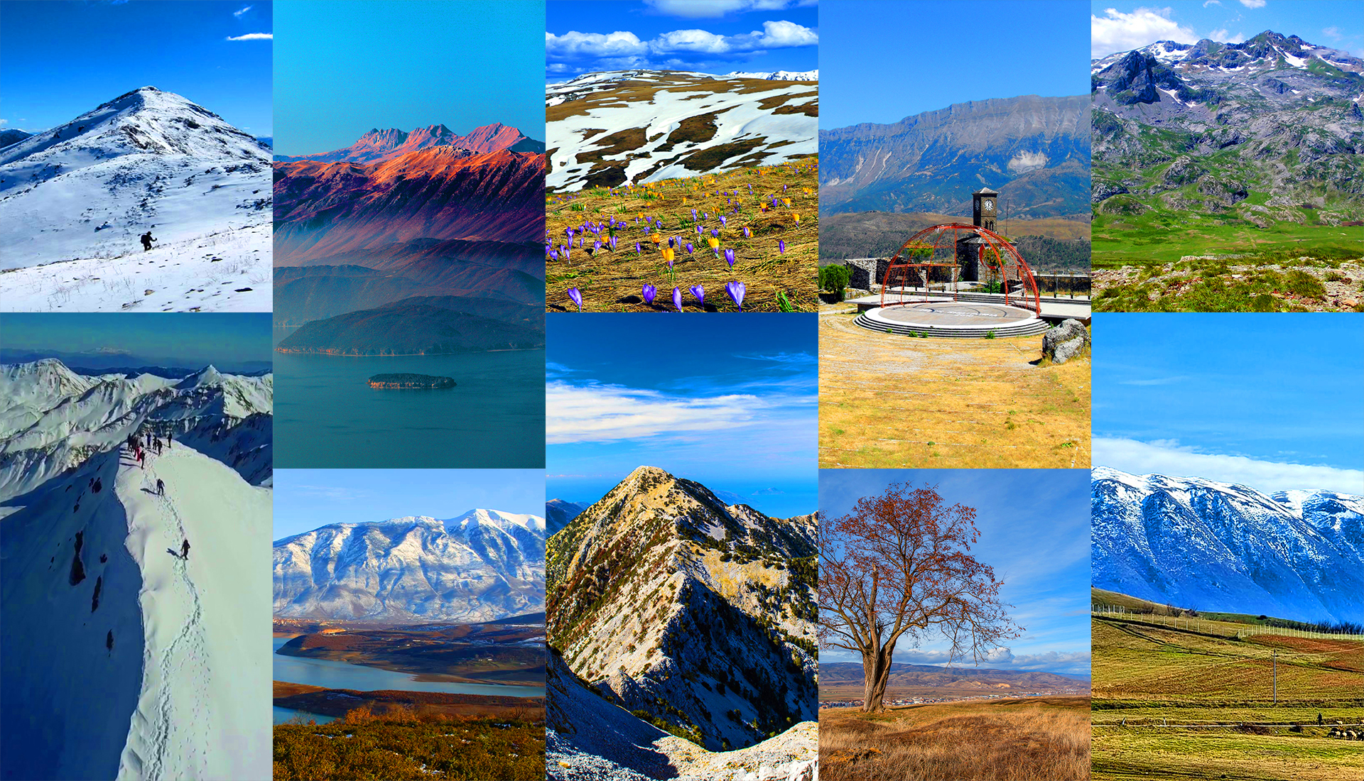
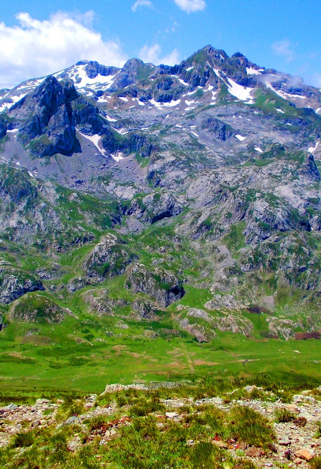
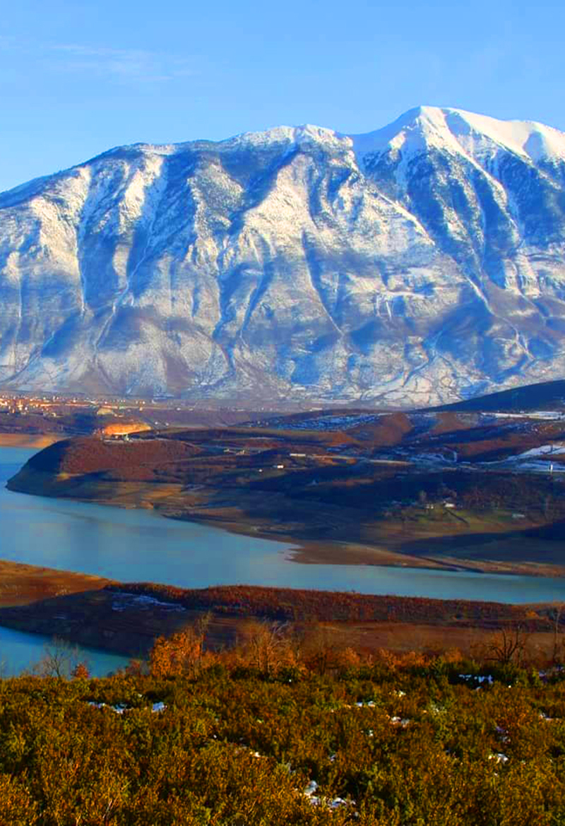
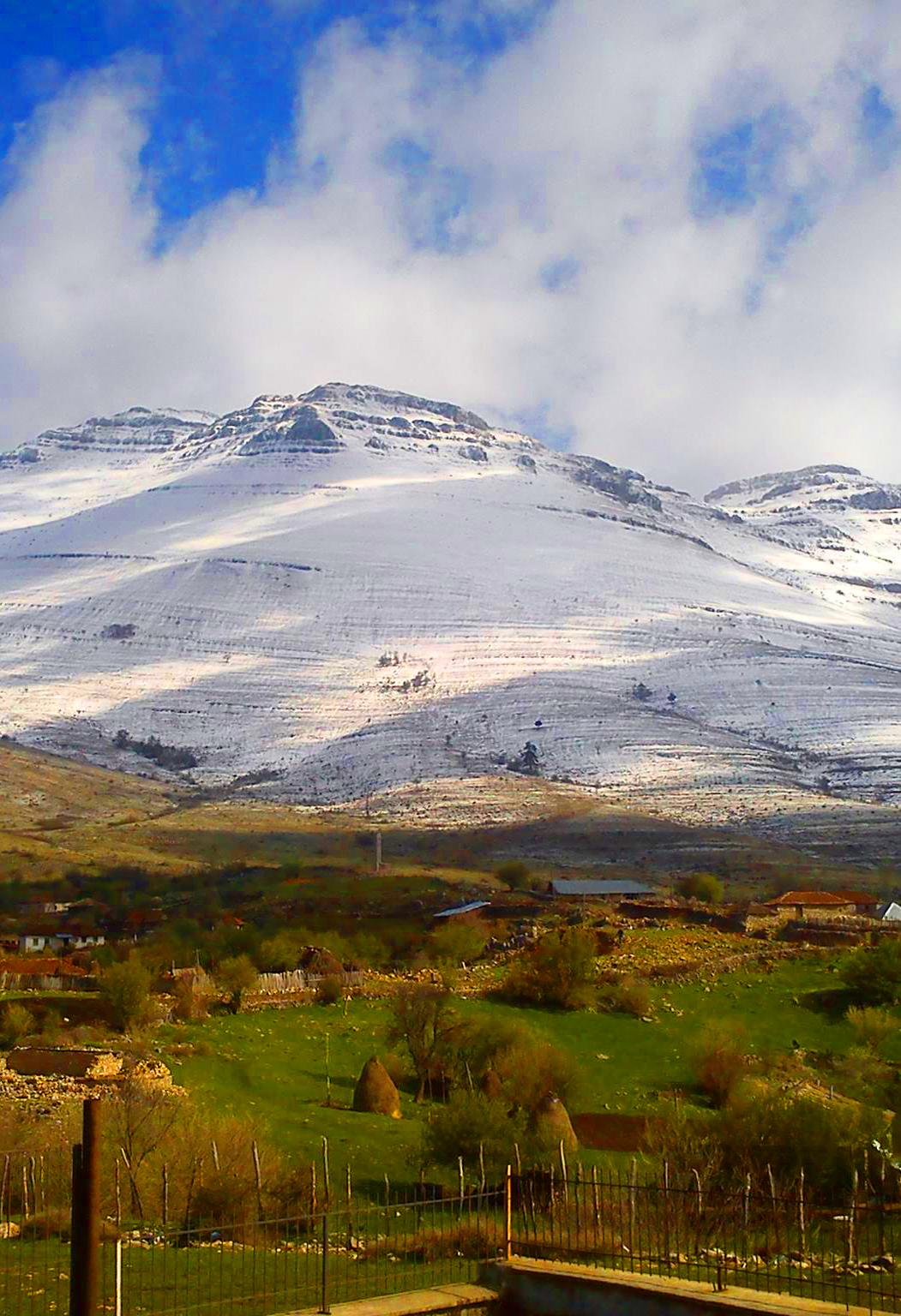
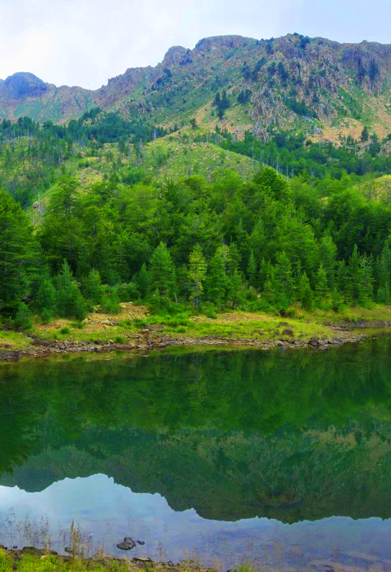
The mountains of north-eastern Albania rise around Kukës and Dibër, along the borders with Kosovo and North Macedonia. Mount Korab (2,764 m), on the border with North Macedonia, is the highest mountain in Albania. Gjallica is the highest mountain in Kukës County. The area also includes the green Gora pastures of the Sharr Mountains around Shishtavec, the lone border summit of Pashtrik and Kunora e Lurës above the glacial Lura Lakes. Large parts are protected in the Korab-Koritnik Nature Park and the Lurë–Mali i Dejës National Park.
Which mountain is right for you?
Pick by what you want to do
The highest summit
Albania’s roof, on the border.
Mount Korab
Big views
High pastures and wide panoramas.
Mount Gjallica · Malet e Sharrit (Sar Mountains)
Lakes & forests
Glacial lakes in a national park.
Mount Kunora e Lurës
Easier summits
Shorter hikes near the border.
Mount Pashtrik
North-East mountains at a glance
Height, starting point and the best season
Swipe to see more| Mountain | Elevation | Starting point | Highlights | Season |
|---|---|---|---|---|
| Mount Korab | 2,764 m | Radomirë | The highest summit in Albania, with views into three countries | July – September |
| Mount Gjallica | About 2,489 m | Brekije, or Kukës | Views over Kukës, Lake Fierza and the Albanian Alps | June – October |
| Malet e Sharrit (Sar Mountains) | About 2,174 m at Mount Kallabak; up to 2,748 m in North Macedonia | Shishtavec, in the Gora highlands | The summit of Kallabak and the green pastures of Gora | June – October |
| Mount Pashtrik | 1,988 m | Kishaj and Krumë, in the Has region | The border summit and the August pilgrimage | May – October |
| Mount Kunora e Lurës | 2,119 m | Lurë village | The summit and the glacial Lura Lakes | June – October |
Map of the north-east mountains
Tap a place to see it, then open its guide
Practical Information
Getting around
- Kukës: About 2 hours from Tirana on the motorway; base for Gjallica, Pashtrik and the Sharr Mountains.
- Peshkopi: About 3 hours from Tirana; base for Korab and Lura.
- Shishtavec: About 45 minutes by car from Kukës.
- By car: Many trailheads are on dirt roads – a 4×4 helps.
When to go & Tips
- Season: Snow lingers on the high ridges until June.
- Border: Korab, Sharr and Pashtrik summits are on the border – carry your passport.
- Guides: Local guides know the trails and the shepherd routes.
- Weather: Bring warm layers; the high pastures are exposed to wind.
Safety in the mountains
- Guides: For high summits and remote routes, hire a local guide – trails are often unmarked.
- Weather: Start early; afternoon storms are common in summer. Carry a jacket even in July.
- Water: Springs are not always reliable – carry at least 2 litres.
- Signal: Mobile coverage is weak or missing on most high routes; tell someone your plan.
Frequently asked questions
When is the best time to hike in Albania’s mountains?
June to October for the high peaks; July to September for the highest summits, when snow has melted. Lower mountains near Tirana and Berat are good from spring to autumn.
Do I need a guide?
For Korab, Jezerca and other high or remote summits, yes – a local guide is strongly recommended. Popular trails like Theth–Valbonë are easier to follow.
How do I climb Mount Korab?
From Radomirë near Peshkopi; it is a long day of about 8–10 hours return, best in July to September.
WHAT TO EXPECT?
ABOUT ALBANIA
Villages
Rivers
Coastline
Mountains
UNESCO Sites
National Parks




Your Albania trip, arranged by locals
Share your plans with us and we'll help you organise everything for a smoother, more relaxed holiday.