
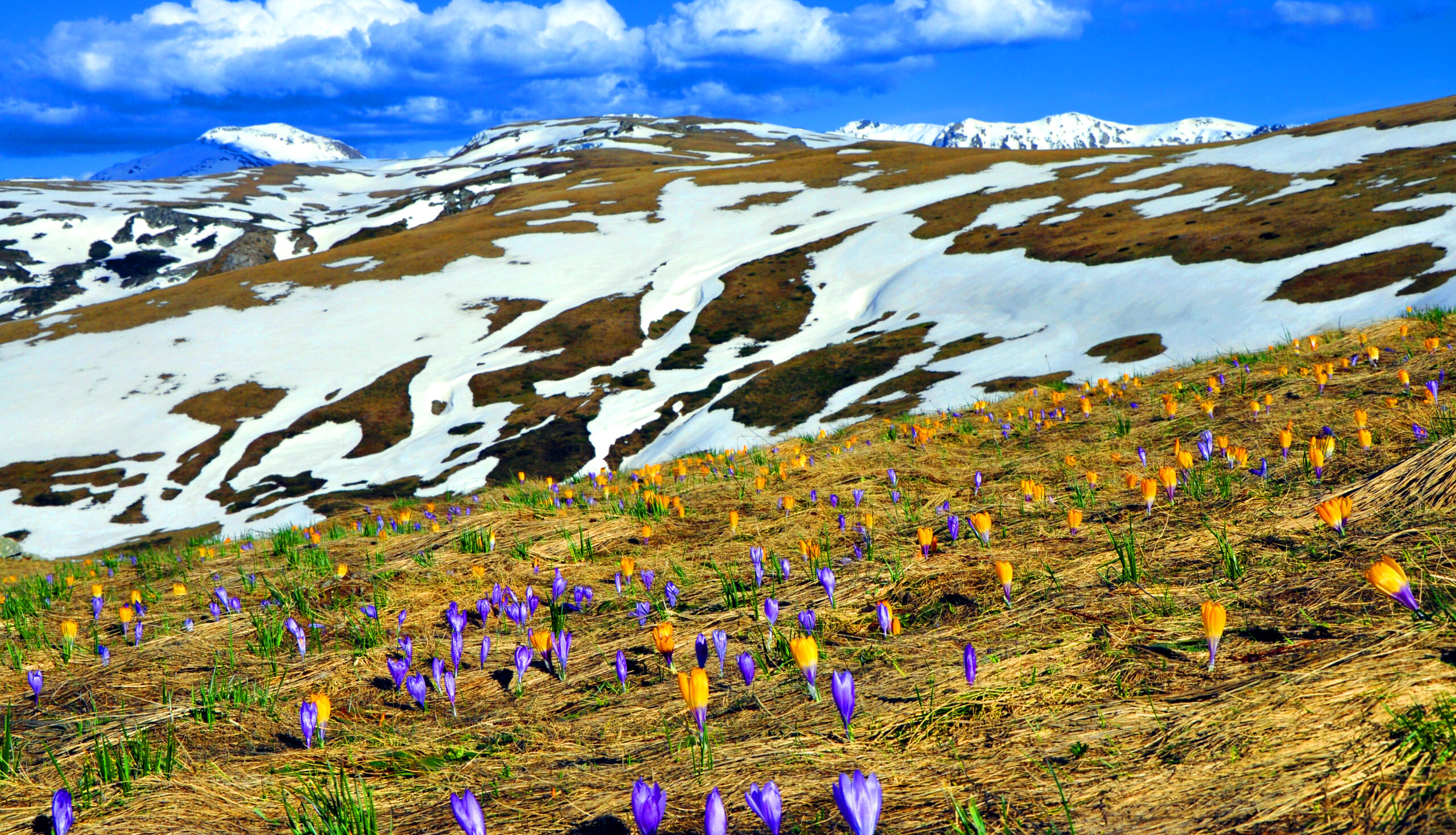
The Albanian edge of the Sharr massif
Last updated: November 2026
The Sharr Mountains stretch for about 75 km across southern Kosovo and north-western North Macedonia, reaching into north-eastern Albania above the Gora highlands east of Kukës. On the Albanian side the range rises from the wide green pastures around Shishtavec to Mount Kallabak (2,174 m), the first rocky summit of the massif, close to the point where the borders of Albania, Kosovo and North Macedonia meet. The area is known for its shepherds' routes, Sharr cheese and the Sharr sheepdog, and the Albanian part lies within the Korab-Koritnik Nature Park.
Quick Facts
About 2,174 m at Mount Kallabak; up to 2,748 m in North Macedonia
The borders of Albania, Kosovo and North Macedonia, east of Kukës
Shishtavec, in the Gora highlands
Korab-Koritnik Nature Park (Albanian side)
The summit of Kallabak and the green pastures of Gora
June – October
Things to do in the Sharr Mountains
Location
Gallery
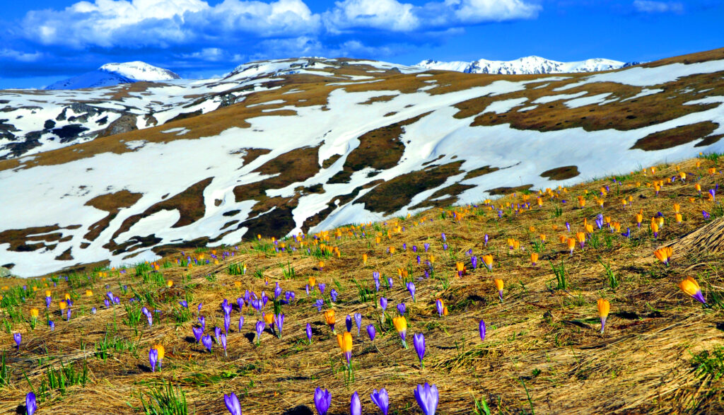
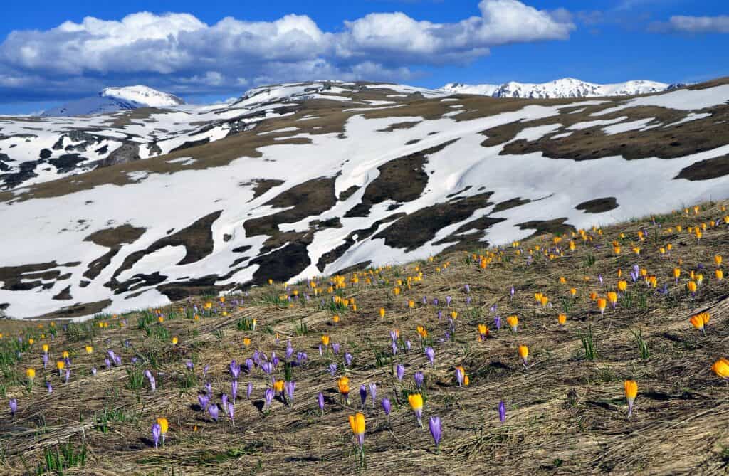
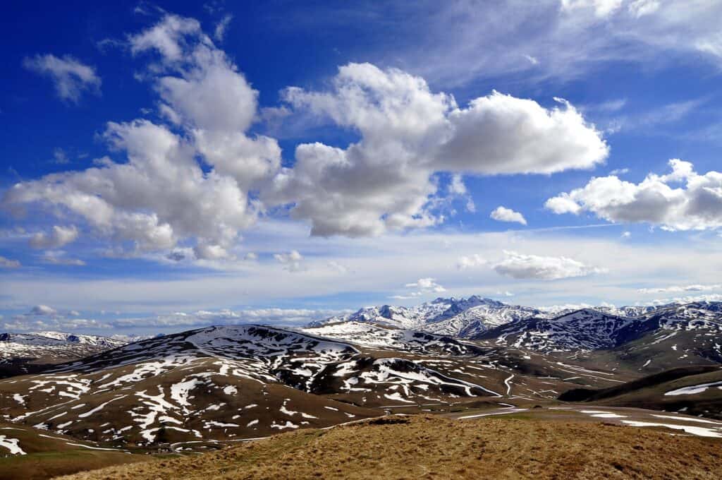
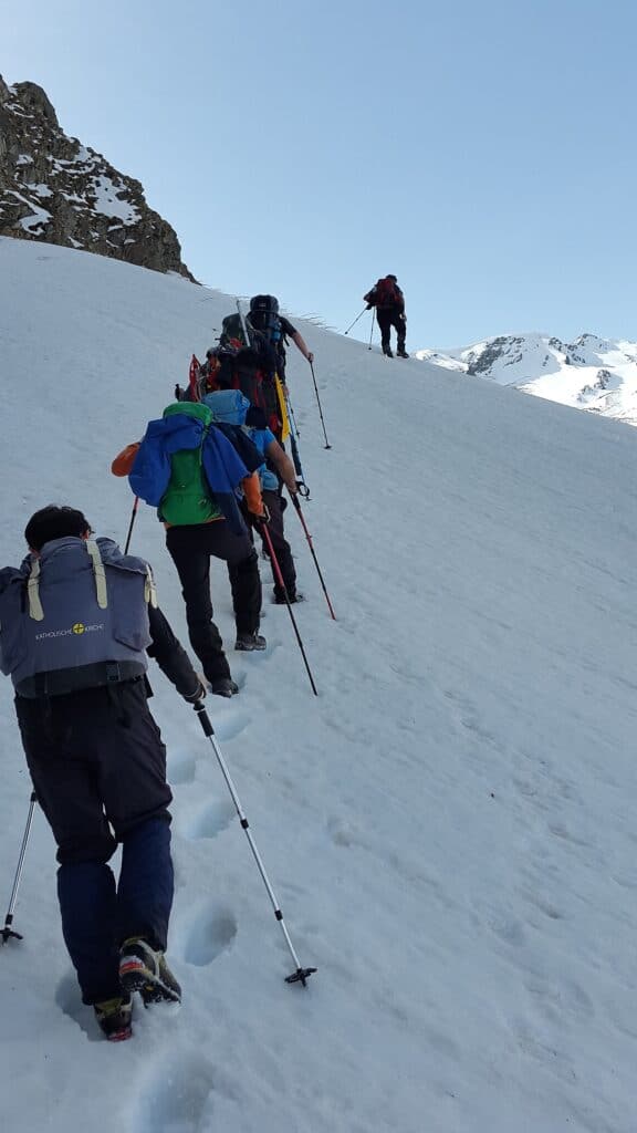
Photos: Planeti (CC BY-SA 4.0); Aljabakphoto (CC BY-SA 4.0) – via Wikimedia Commons
Nearby Places


Practical Information
How to get there
- From Kukës: About 45 minutes by car through the Vanave Gorge and up the winding road to Shishtavec.
- From Tirana: About 2 hours on the motorway to Kukës.
- Trail: The hike from Shishtavec to Kallabak is about 15 km.
Where to stay & eat
Shishtavec has a few family-run guesthouses with local food; Kukës has hotels and restaurants.
Tips
- Border: The ridge follows the border – carry your passport.
- Navigation: Waymarks are sparse in places – carry a map or GPS, or go with a local guide.
- Weather: The high pastures are exposed to wind and storms – bring warm layers.
Frequently Asked Questions
What else can I visit near Malet e Sharrit (Sar Mountains)?
Nearby places on Albania Tourism: Novosej (about 8 km), Shishtavec (about 8 km), Topojan (about 9 km), Radomirë (about 13 km). Distances are in a straight line.
Do I need a guide for Malet e Sharrit (Sar Mountains)?
Not on marked trails in good summer weather if you are an experienced hiker. For unmarked routes, snow, poor visibility or your first time in the area, hire a local guide.
Is there mobile signal and water on Malet e Sharrit (Sar Mountains)?
The signal is often weak or missing on higher ground, so download offline maps and tell someone your route. Springs are not reliable in late summer – carry enough water.
Your Albania trip, arranged by locals
Share your plans with us and we'll help you organise everything for a smoother, more relaxed holiday.