
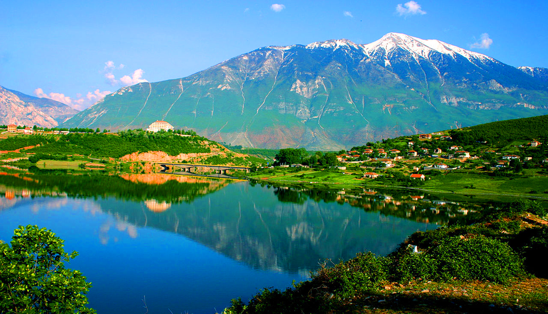
The great peak just across the border from Dobërdol
Last updated: November 2026
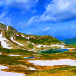
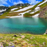
Gjeravica rises to 2,656 m in the Bjeshkët e Nemuna, the Accursed Mountains, just across the Albanian border in Kosovo, above the high pastures of Dobërdol in Tropojë. Its broad massif stands above the surrounding ridges, and on clear days the summit looks over Albania, Montenegro and Kosovo at once. Below the top lie Lake Gjeravica, at around 2,200 m, and the heart-shaped Liqeni i Zemrës, a few hundred metres from the border. From Albania it is climbed on a loop from Dobërdol.
Quick Facts
2,656 m
Just across the border in Kosovo, above Dobërdol
Dobërdol in Albania, or Junik and Deçan in Kosovo
Bjeshkët e Nemuna National Park (Kosovo)
Lake Gjeravica and the heart-shaped Liqeni i Zemrës
July – September
Things to do on Gjeravica
Location
Gallery
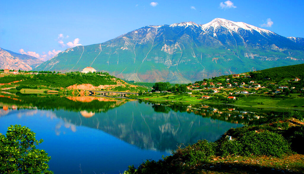
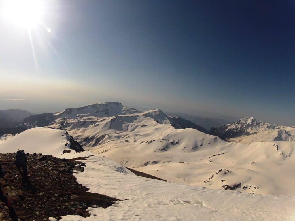
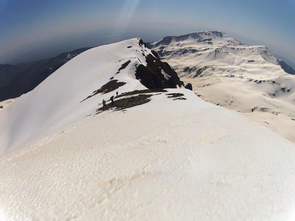
Photos: Nentor oseku (CC BY-SA 3.0) – via Wikimedia Commons
Nearby Places

Practical Information
How to get there
- From Albania: Dobërdol is reached in summer by off-road vehicle from Tropojë village or Çerem.
- From Kosovo: Routes start from Junik or from the Deçan valley.
- Trail: The loop from Dobërdol takes about 8 hours.
Where to stay & eat
In summer Dobërdol has simple mountain accommodation with meals; Bajram Curri has hotels, and there are guesthouses in Junik and Deçan.
Tips
- Border: The route crosses into Kosovo – carry your passport and check the current border rules.
- Experience: This is a long alpine hike – good fitness and sturdy shoes are needed.
- Weather: Start early and watch for storms; water is available only at the lakes.
Frequently Asked Questions
What else can I visit near Mount Gjeravica?
Nearby places on Albania Tourism: Lake Sylbicë (about 4 km), Lake Dhenve (about 4 km), Lake Dash (about 5 km), Shkëlzen Peak (about 8 km). Distances are in a straight line.
Do I need a guide for Mount Gjeravica?
Not on marked trails in good summer weather if you are an experienced hiker. For unmarked routes, snow, poor visibility or your first time in the area, hire a local guide.
Is there mobile signal and water on Mount Gjeravica?
The signal is often weak or missing on higher ground, so download offline maps and tell someone your route. Springs are not reliable in late summer – carry enough water.
Your Albania trip, arranged by locals
Share your plans with us and we'll help you organise everything for a smoother, more relaxed holiday.