
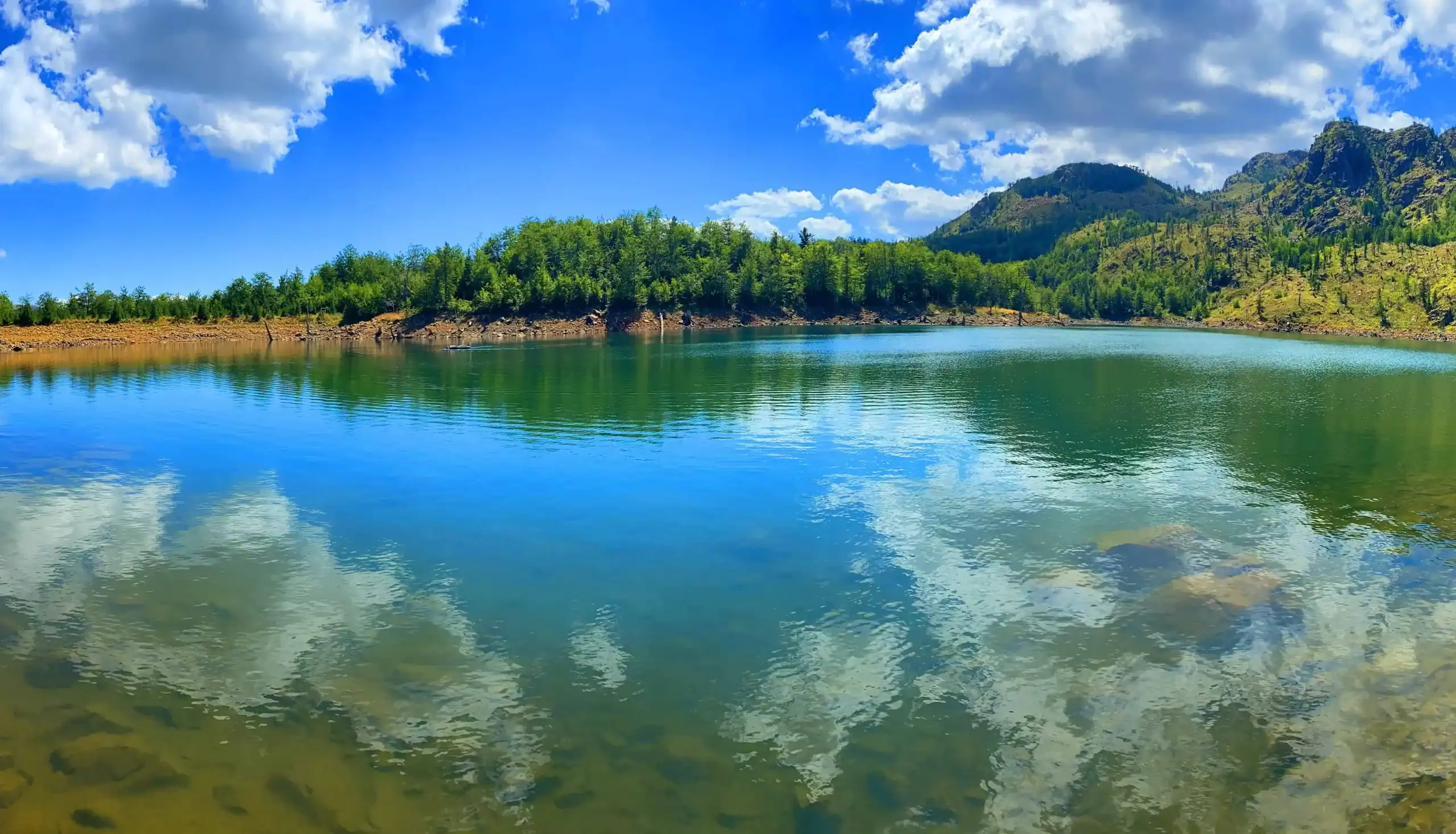
The gateway to the Lura Lakes
Last updated: November 2026
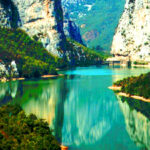
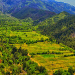
Lurë is a high mountain area of Dibër surrounded by pine and beech forests. It is the starting point for the Lura National Park, with its glacial lakes, flower meadows and the peak of Kunora e Lurës.
Quick Facts
Lura National Park, Dibër
About 1,050–1,200 m
Glacial lakes, forests, Kunora e Lurës
Mountain road; 4x4 recommended for the lakes
Hiking, camping, nature
Best June–September
Things to do in Lurë
Location
Gallery
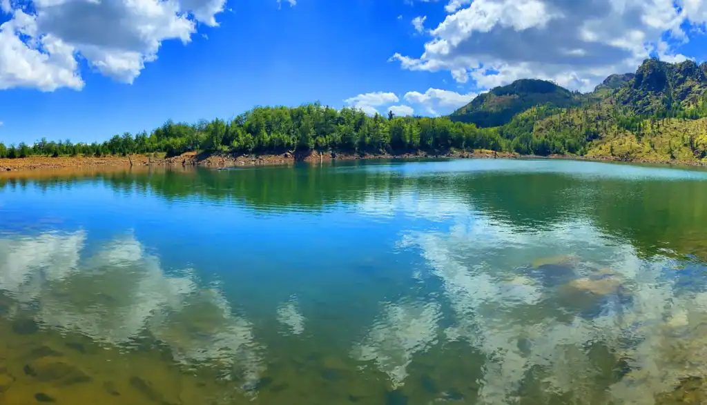
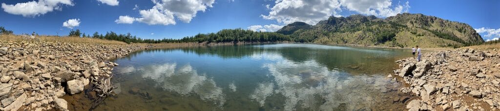
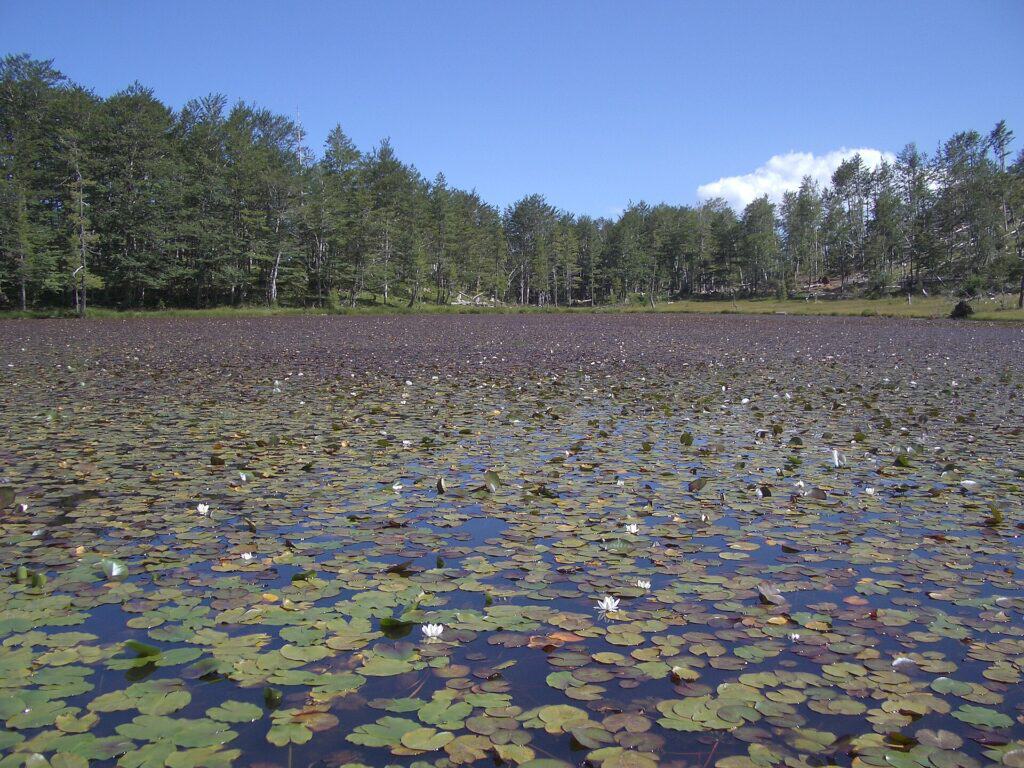
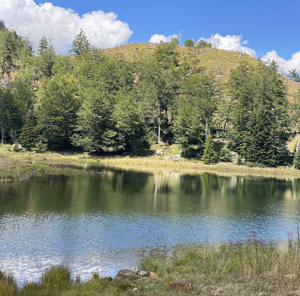
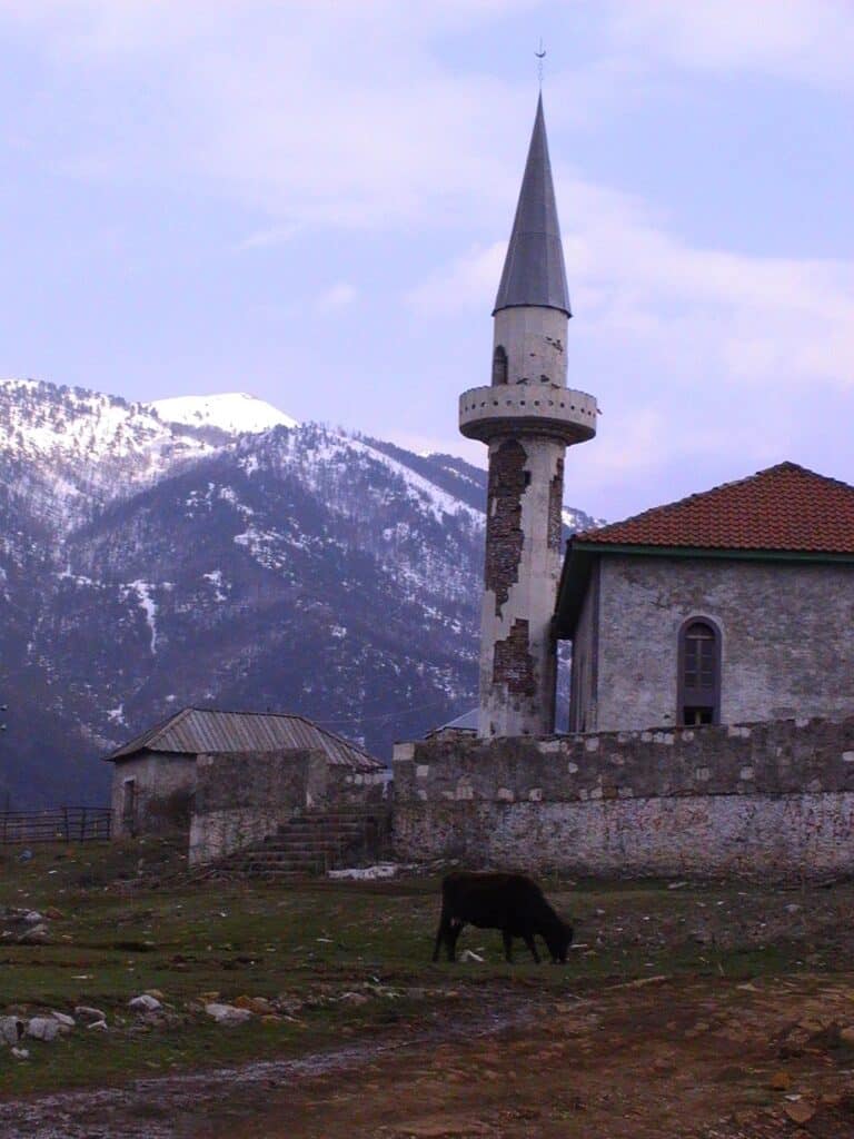
Photos: isaleal (CC BY 2.0); Donard Doçi (CC BY-SA 4.0); Markussep (CC BY-SA 3.0) – via Wikimedia Commons
Nearby Places

Practical Information
How to get there
- From Peshkopi: About 2 hours by car on mountain roads.
- From Rrëshen: Via the mountain road through Mirdita.
- To the lakes: The last part to the lakes is a rough track – a 4×4 is best.
Where to stay & eat
A few guesthouses and campsites in Fushë-Lurë and Lura e Vjetër.
Tips
- Flowers: Late June and early July are best for the flowers on the lakes.
- Road: The track to the lakes is usually impassable in winter.
- Winter: Snow can block the road in winter – check with your guesthouse before you go.
Frequently Asked Questions
What else can I visit near Lurë?
Nearby places on Albania Tourism: Lura Lakes (about 3 km), Mount Kunora e Lurës (about 4 km), Orosh (about 13 km), Radomirë (about 23 km). Distances are in a straight line.
How much time do I need in Lurë?
Plan a full day for the lakes and forest trails, or stay overnight at a guesthouse or campsite to climb Kunora e Lurës.
Where is the nearest ATM to Lurë?
The nearest larger town with ATMs is Peshkopi (about 23 km in a straight line). Withdraw cash there before you arrive.
Can I reach Lurë without a car?
Minibuses (furgons) link most villages with the nearest town, but often only once or twice a day, usually early in the morning. A car gives you much more freedom.
Your Albania trip, arranged by locals
Share your plans with us and we'll help you organise everything for a smoother, more relaxed holiday.