
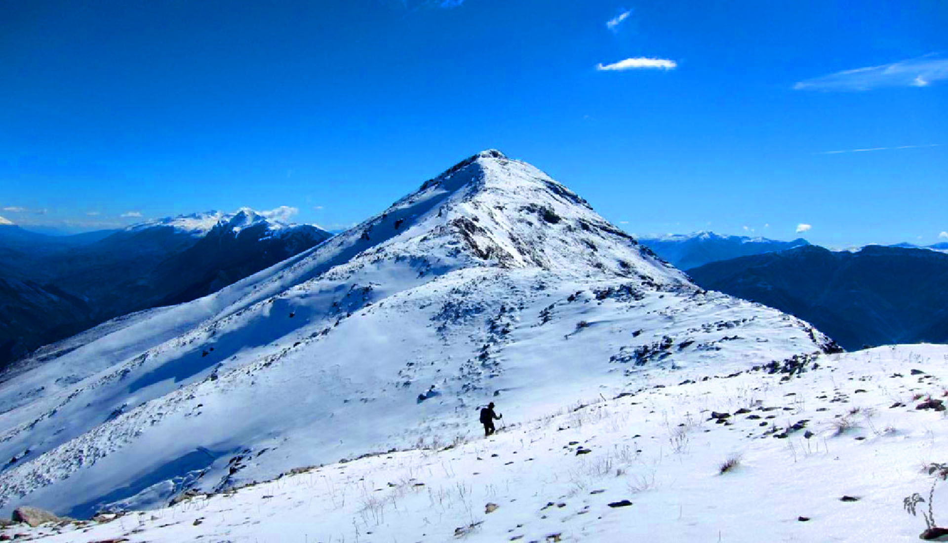
The mountain above Memaliaj and the Vjosa
Last updated: November 2026
Shëndelli rises to 1,802 m above Memaliaj and the Vjosa valley, north of Tepelenë. It is the first mountain of the Shëndelli–Lunxhëri–Bureto chain, which runs parallel to the Trebeshinë–Dhëmbel–Nemërçkë chain. Its slopes rise steeply from the Vjosa, while the Mezhgoran and Maricaj valleys separate it from Trebeshinë to the east. In local folk belief the mountain has long been regarded as sacred. The summit looks out over Papingut, Strakovec and the peaks of southern Albania.
Quick Facts
1,802 m
Above Memaliaj and the Vjosa valley, north of Tepelenë
Bylysh and Kashisht
Not part of a protected area
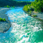
The summit views over the Vjosa valley
April – November
Things to do on Mount Shëndelli
Location
Gallery
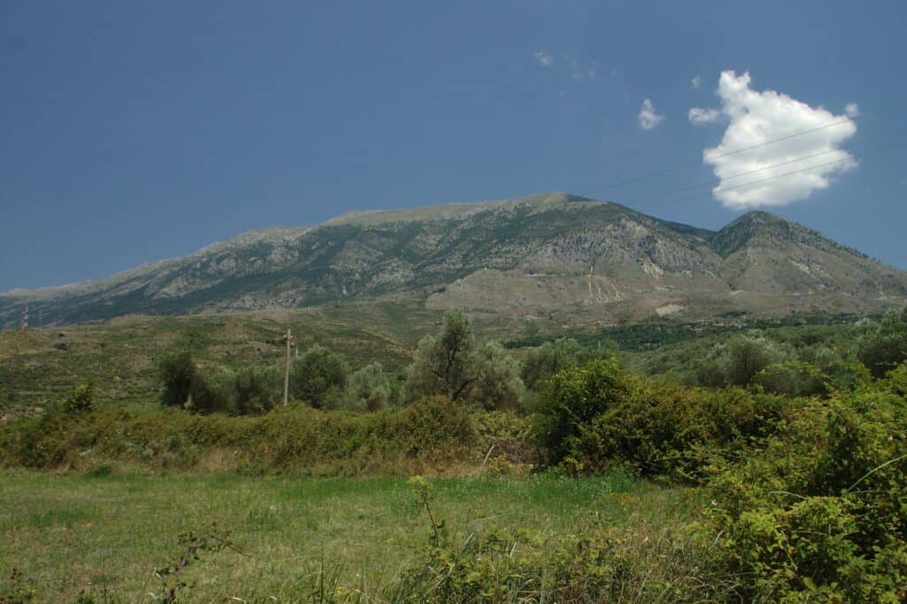
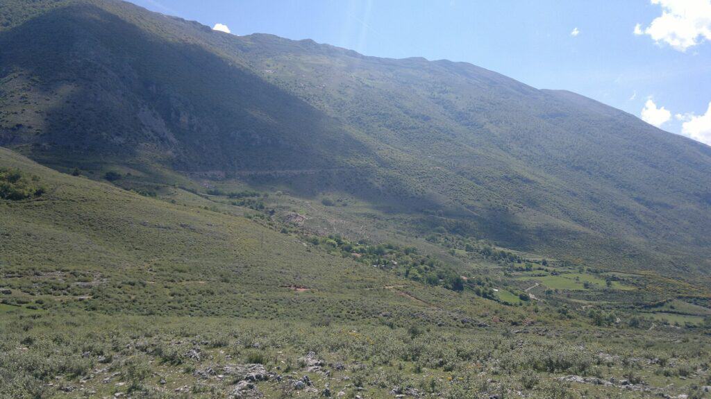
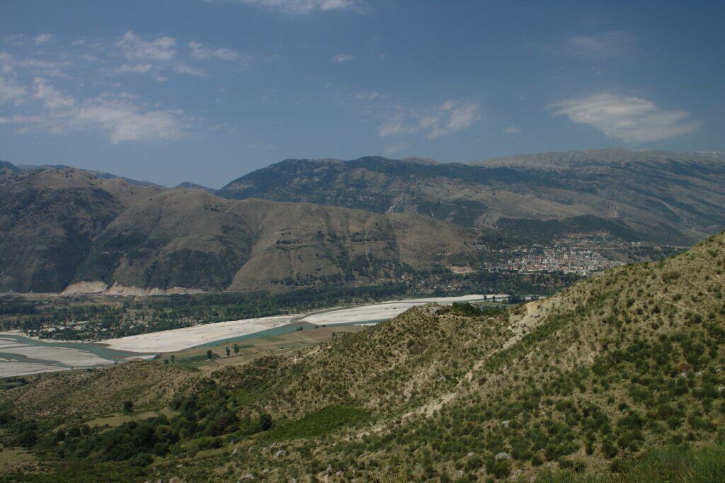
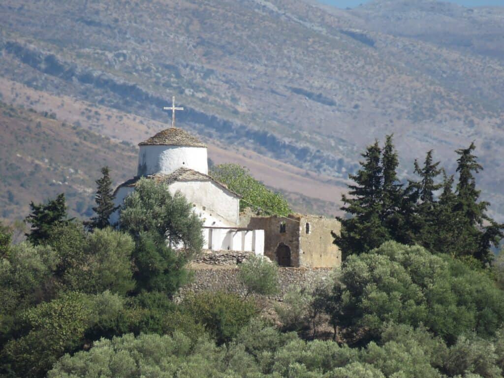
Photos: Calistemon (CC BY-SA 4.0); I would appreciate being notified if you use my work outside (CC BY 4.0); Eri Xhaferi (CC BY-SA 4.0) – via Wikimedia Commons
Nearby Places
Practical Information
How to get there
- From Memaliaj: Asphalt road to Bylysh, then about 3.3 km of dirt road to Kashisht (SUV recommended).
- From Tirana: About 3 hours by car to Memaliaj.
- Trail: From Kashisht to the summit is about 11 km; allow about 6 hours for the round trip.
Where to stay & eat
Tepelenë and Memaliaj have small hotels and restaurants.
Tips
- Winter: In winter the upper part can be covered with snow and ice.
- Water: Carry enough water for the whole hike.
- Start: Start early to finish in daylight.
Frequently Asked Questions
What else can I visit near Mount Shëndelli?
Nearby places on Albania Tourism: Mount Trebeshina (about 4 km), Dragot (about 6 km), Tepelenë Castle (about 6 km), Tepelenë (about 6 km). Distances are in a straight line.
Do I need a guide for Mount Shëndelli?
Not on marked trails in good summer weather if you are an experienced hiker. For unmarked routes, snow, poor visibility or your first time in the area, hire a local guide.
Is there mobile signal and water on Mount Shëndelli?
The signal is often weak or missing on higher ground, so download offline maps and tell someone your route. Springs are not reliable in late summer – carry enough water.
Your Albania trip, arranged by locals
Share your plans with us and we'll help you organise everything for a smoother, more relaxed holiday.